Search Results
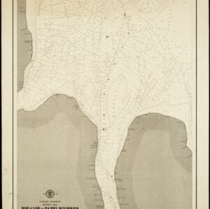
Sumatra Oostkust: Monden der Koealoe en Panei rivieren
1892
Indonesia
Navigation map of the mouths of the Koealoe (Kualu) and Panei (Barumun and Bila) rivers on the east coast of Sumatra. Large sand and mud banks, bathymetry (sea depth), bouys and currents are marked. On land, tall trees are shown to use as landmarks.
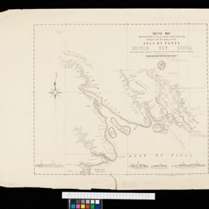
Sketch map shewing the rivers and an outline of the coast... Gulf of Papua, British New Guinea
1892
Papua New Guinea
Map of part of the west coast of the Gulf of Papua, with islands, river mouths, shoals, bathymetry (water depth), notes to aid navigation. On land, notes on terrain (‘Limestone Hill’), vegetation (‘Pandanus & Nipa Palms’) and people (‘Paia Tribe’).

Rough Sketch of 200 miles of the western portion of British New Guinea, including rivers
1890
Papua New Guinea
Map of British New Guinea with notes on the terrain (‘Low country’), vegetation (‘Mangrove, Nipa and Fan Palms’), crops (‘Small plantations Sugar cane & Taro’), coastal features (‘Coral and Sand flats) and people (‘Friendly tribe’, ‘Dariamo Tribe’).
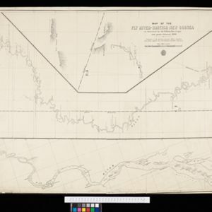
Map of the Fly River, British New Guinea, as traversed by Sir William MacGregor and party
1890
Papua New Guinea
Three maps on one sheet of the Fly River in British New Guinea, from the mouth to where it meets the Palmer River. Bathymetry (water depth) and sandbanks are marked at the mouth and landmarks—hills, vegetation, villages—are noted along the length.
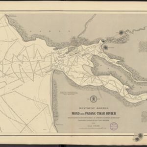
Westkust Borneo: Mond der Padang-Tikar rivier
1884
Indonesia
Navigation map of the mouth of the Padang Tikar River, on the west coast of Borneo, featuring bathymetric (water depth) routes. Obstructions are marked with letters: ‘m’ (mud), ‘z’ (sand). Trees, hills and fishermen’s houses are shown as landmarks.
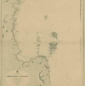
Gulf of Siam: Malay Peninsula - East Coast. Lakon Roads to Lem Tane
1880
Thailand
Produced by the British Admiralty’s Hydrographic Office, this map includes various navigational aids, such as maritime routes, bathymetry (sea depth), tide and current data, and elevations (side views of hills and mountains to use as landmarks).

Western part of the Java Sea : from Lucipara I. to Sunda Strait and Batavia
1866
Indonesia
Designed to aid navigation around the western Java Sea, this map features bathymetry (sea depth), current and tide data, and is marked with shoals, reefs and other hazards. Written notes add details at specific locations (e.g. ‘heavy tide rips’).

