Search

Search Results

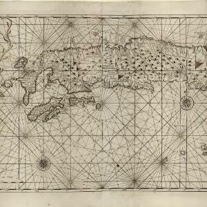
Insulae Iavae pars Occidentalis

eventc.1710-1719

location_onIndonesia

Carte de l'ile de Java: partie occidentale, partie orientale, dressée tout nouvellement sur les mémoires les plus exacts

event1720

location_onIndonesia

Insulae Iavae pars Occidentalis

eventc.1720

location_onIndonesia

Insulae Iavae pars Occidentalis

eventc.1720

location_onIndonesia

Insulae Iavae Pars Occidentalis / Insulae Iavae Pars Orientalis

eventc.1720

location_onIndonesia

De landvoogdy van Amboina met de elf onderhoorige eylanden

event1726

location_onIndonesia

Insulae Iavae pars Occidentalis

event1728

location_onIndonesia

A general chart of the Atlantic and Indian oceans, with the situation & plan of Pulo Peenang or Price of Wales's Island / Plan of the Strait within Poolo Pinang

event1788

location_onMalaysia, East Timor, Indonesia, Papua New Guinea, Singapore

A new chart of the straits of Sunda: From the manuscript of the Dutch East India Company

event1794

location_onIndonesia

A New Chart of the Eastern Straits, or the Straits to the East of Java, with a part of the Banda Sea

event1798

location_onEast Timor, Indonesia

A new chart shewing the navigation through the Strait of Sunda to Batavia

event1815

location_onIndonesia

A new chart shewing the navigation through the Strait of Sunda to Batavia

event1815

location_onIndonesia

close