Search

Search Results

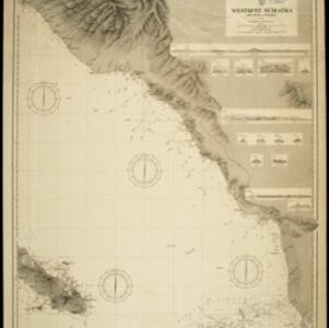
Westkust Sumatra: Melaboe tot Singkel

event1898

location_onIndonesia

Navigation map of the northwest coast of Sumatra. Bathymetry (sea depth), anchor points, shoals and other obstructions (clay, coral, mud, stones, sand) are marked, with hills and settlements to use as landmarks.

[Schetskaarten van versterkingen, loopgraven, stellingen, bentengs e.d. uit de Atjeh oorlog]

event1880

location_onIndonesia

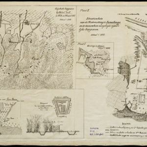
Multiple maps from the Aceh War, spread over 12 sheets. Includes maps of fortifications, trenches, battle formations; building plans, including the Aceh Sultan’s palace; topographic maps; and drawings of a ‘kotta mara’ (fortified raft).
Gulf of Siam: Malay Peninsula - East Coast. Lakon Roads to Lem Tane

event1880

location_onThailand

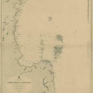
Produced by the British Admiralty’s Hydrographic Office, this map includes various navigational aids, such as maritime routes, bathymetry (sea depth), tide and current data, and elevations (side views of hills and mountains to use as landmarks).
Kaart van de Westerhelft der Residentie Samarang

event1858

location_onIndonesia

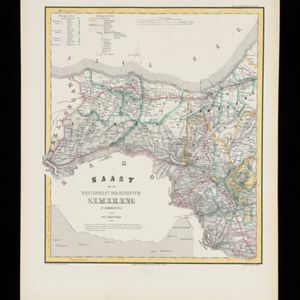
Map of the Dutch colonial administrative region (residency) of Samarang (Semarang, Java), with post offices and routes, a saw mill and a sugar factory marked. (From ‘Algemeene Atlas van Nederlandsche Indie [General Atlas of the Dutch East Indies]’.)

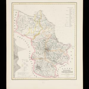
Kaart van de Residentie Cheribon

event1857

location_onIndonesia

Map of the Dutch colonial administrative region (residency) of Cheribon (Cirebon, Java), including an elevation showing the heights of the area’s mountains. (From ‘Algemeene Atlas van Nederlandsche Indie [General Atlas of the Dutch East Indies]’.)

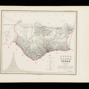
Kaart van de Residentie Tagal

event1857

location_onIndonesia

Map of the Dutch colonial administrative region (residency) of Tagal (Tegal, Java) including an elevation showing heights of mountains, including Mount Slamat. (From ‘Algemeene Atlas van Nederlandsche Indie [General Atlas of the Dutch East Indies]’.)

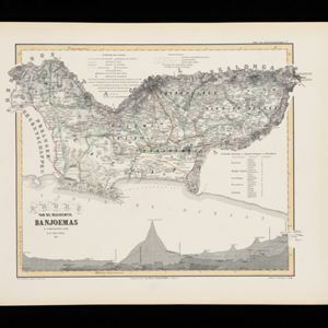
Kaart van de Residentie Banjoemas

event1857

location_onIndonesia

Map of the Dutch colonial administrative region (residency) of Banjoemas (Banyumas, Java), including an elevation showing the heights of the area’s mountains. (From ‘Algemeene Atlas van Nederlandsche Indie [General Atlas of the Dutch East Indies]’.)

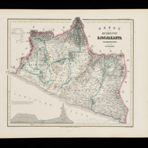
Kaart van de Residentie Djocjakarta

event1857

location_onIndonesia

Map of the Dutch colonial administrative region (residency) of Djocjakarta (Yogyakarta, Java), with its capital city of the same name at the centre. (From ‘Algemeene Atlas van Nederlandsche Indie [General Atlas of the Dutch East Indies]’.)

Kaart van de Residentie Probolinggo

event1856

location_onIndonesia

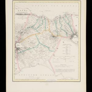
Map of the Dutch colonial administrative region (residency) of Probolinggo, Java, with an elevation showing the heights of the Tengger mountain range. (From ‘Algemeene Atlas van Nederlandsche Indie [General Atlas of the Dutch East Indies]’.)

Algemeene Atlas van Nederlandsche Indie

eventc.1853-1862

location_onIndonesia

Atlas featuring over 60 detailed maps of the Dutch East Indies: 24 maps cover Java; the remainder cover the rest of the Dutch East Indies. There are three index maps. (All the maps in this atlas are also presented separately on this platform.)

Algemeene Kaart van Nederlandsch Oostindie

event1842

location_onEast Timor, Indonesia, Malaysia, Singapore

This detailed map of the Dutch East Indies in the mid-19th century is spread over eight sheets, plus a cover sheet showing the whole area. There are numerous inset maps of islands, bays, cities etc.

Algemeene kaart van Nederlandsch Oostindie

eventc.1839-1855

location_onEast Timor, Indonesia, Malaysia, Singapore

This map of the Dutch East Indies is spread over eight sheets, with a hand-drawn cover sheet showing the whole area. There are numerous inset maps of islands, bays, cities etc. Two of the inset maps have a replacement map pasted over them.

close