Search

Search Results

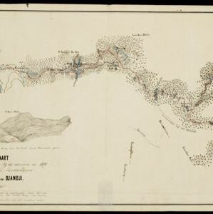
Schetskaart van het terrein doorloopen bij de excursie in 1890 tegen de Battaksche landschappen Loemban-Pinasa en Djandji

event1891

location_onIndonesia

Map of an expedition route—in red—through the country of the Batak people of northern Sumatra, from Lake Toba to Loemban-Pinasa (Lumban Pinasa) and Djandji. Mountains and forests are shown, along with two drawings of views of hills.

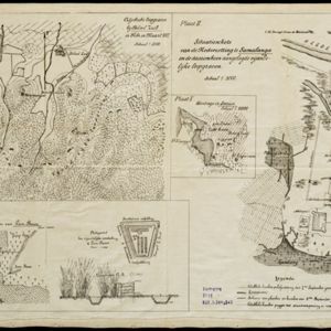
[Schetskaarten van versterkingen, loopgraven, stellingen, bentengs e.d. uit de Atjeh oorlog]

event1880

location_onIndonesia

Multiple maps from the Aceh War, spread over 12 sheets. Includes maps of fortifications, trenches, battle formations; building plans, including the Aceh Sultan’s palace; topographic maps; and drawings of a ‘kotta mara’ (fortified raft).

Land- en zeekaart der Banda-eilanden

event1871

location_onIndonesia

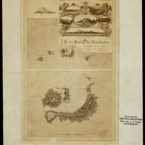
Two maps of the Banda Islands—one of the whole group; the other focusing on the larger islands only—with an elaborate cartouche illustrated with six views of the islands. There is also a drawing of the volcano on Goenong Api (Banda Api).

Algemeene kaart van Nederlandsch Oostindie

eventc.1839-1855

location_onEast Timor, Indonesia, Malaysia, Singapore

This map of the Dutch East Indies is spread over eight sheets, with a hand-drawn cover sheet showing the whole area. There are numerous inset maps of islands, bays, cities etc. Two of the inset maps have a replacement map pasted over them.

Karte von der Insel Sumatra

event1837

location_onMalaysia, Indonesia, Singapore

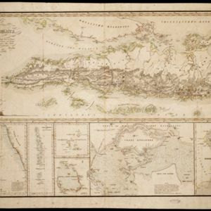
Based on surveys by Sir Stamford Raffles, this German map of Sumatra focuses on the navigation of coasts and straits, with bathymetry (sea depth), anchor points, shoals and reefs marked, including on inset maps of Singapore and the Bangka Strait.

Plan de L'Isle Condor

event1775

location_onVietnam

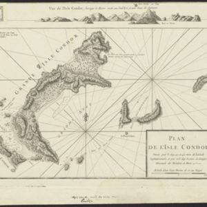
There is a port at the south of this map of the Côn Đảo archipelago (Vietnam), and notes giving details such as a suitable location to careen ships (turning a ship on its side for cleaning or repair). A ruined English fort is also marked.

Insulae Iavae pars Occidentalis

eventc.1720

location_onIndonesia

A map of west Java with mountains, jungles, animals and crops. Details include sea depth, an inset map of Batavia harbour, and an illustration of a lion—representing Belgium—receiving tribute and enslaving locals. A similar map of east Java was made.

Insulae Iavae Pars Orientalis

eventc.1720

location_onIndonesia

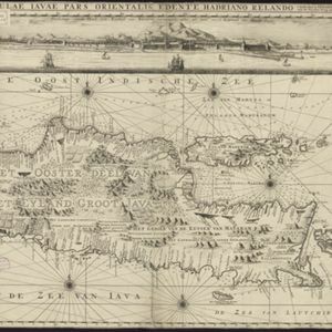
A map of eastern Java with mountains, jungles, animals and crops. Bathymetry (sea depth) is marked, and there is a painting of Batavia harbour and castle. A similar map depicting western Java was also produced, as were maps featuring both parts.

Insulae Iavae Pars Occidentalis / Insulae Iavae Pars Orientalis

eventc.1720

location_onIndonesia

A map of Java with mountains, jungles, animals and crops. Bathymetry (sea depth) is marked, including on an inset map of Batavia harbour. Illustrations include Batavia Castle, and a lion—representing Belgium—receiving tribute and enslaving locals.

't Groodt Timoor

eventc.1700-1899

location_onEast Timor, Indonesia

Map of Timor with Dutch and Portuguese flags marking military forts. Details are represented pictorially e.g. villages by small houses, forests by trees. There are extensive handwritten annotations, with some text translated from Dutch to French.

close

  • Filter from 1700 to 1891

Current results range from 1700 to 1891