
Search


Refine your results
- Filter from 1853 to 1867
Current results range from 1853 to 1867
Location
- check_box_outline_blankDutch East Indies25
- check_box_outline_blankJava22
- check_box_outline_blankCelebes3
- check_box_outline_blankSulawesi3
- check_box_outline_blankBali Strait2
- check_box_outline_blankBandong2
- check_box_outline_blankBandung2
- check_box_outline_blankBorneo2
- check_box_outline_blankDemak2
- check_box_outline_blankJava Sea2
- check_box_outline_blankJava Zee2
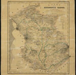
- check_box_outline_blankKadoe2
- more Detailed Location »
Land Use
Land and Sea Routes
Cultural and Political Regions
Environmental Features
Insets and Attributes
Map Production Details
- check_box_outline_blankCronenberg, F.24
- check_box_outline_blankWolff24
- check_box_outline_blankMelvill van Carnbee, Pieter13
- check_box_outline_blankVersteeg, W.F.13
- check_box_outline_blankUllmann, L.2
- check_box_outline_blankBöhm1
- check_box_outline_blankHerwerden, J.D. van1
- check_box_outline_blankZollinger, H.1


