Search

Search Results

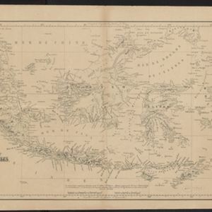
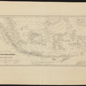
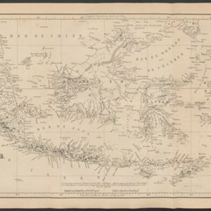
Carte générale des possessions néerlandaises aux Indes orientales

event1846

location_onBrunei, East Timor, Indonesia, Malaysia, Philippines, Singapore

Map of the Asian colonial possessions of the Netherlands (Dutch East Indies), with an inset of the heights of some of the region’s mountains. A note describes the average temperature, barometer reading and magnetic declination in Batavia at the time.
Laphao

event1780

location_onEast Timor, Indonesia

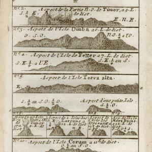
A page from Abbé Prévost’s ‘Histoire Générale des Voyages’. The top map shows the Bay of Laphao on Timor, while the other drawings are side views (or ‘elevations’) of mountains on the region’s islands to use as landmarks when navigating.

't Groodt Timoor

eventc.1700-1899

location_onEast Timor, Indonesia

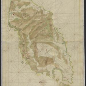
Map of Timor with Dutch and Portuguese flags marking military forts. Details are represented pictorially e.g. villages by small houses, forests by trees. There are extensive handwritten annotations, with some text translated from Dutch to French.

close

  • Filter from 1700 to 1846

Current results range from 1700 to 1846