Search

Search Results

The North Coast of Java, from Madura to Samarang

event1818

location_onIndonesia

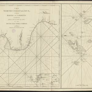
Chart of the north coast of Java, featuring a rhumbline network—a web of lines to help plot routes—bathymetry (sea depth), shoals, reefs and side views of landmark mountains (elevations), all to aid navigation. With an inset map of nearby islands.
Plan van de Iris-straat en Triton's-baai

event1828

location_onIndonesia

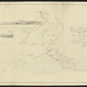
Hand-drawn map of routes through the Iris-straat (Iris Strait) and Triton’s-baai (Triton Bay) in New Guinea. Bathymetry (sea depth) and reefs are shown, and there is an elevation (side view) of the islands and hills seen at the bay’s entrance.

Reduzirte Karte vom Sunda- oder Borneo-Meere

event1835

location_onMalaysia, Indonesia

A navigation map of the Java Sea and Sunda Islands, with bathymetry (sea depth), maritime routes, shoals and reefs, and elevations (side views of terrestrial landmarks). Inset maps feature the bay at Batavia and the straits between the Sunda Islands.

Karte von der Insel Sumatra

event1837

location_onSingapore, Indonesia, Malaysia

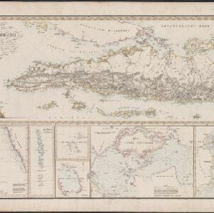
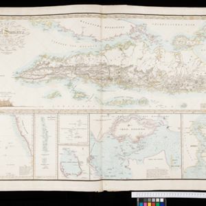
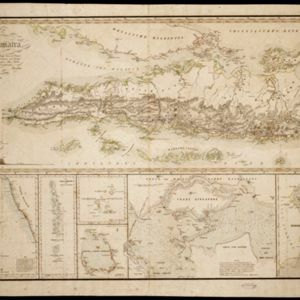
Based on surveys by Sir Stamford Raffles, this German map of Sumatra focuses on the navigation of coasts and straits, with bathymetry (sea depth), anchor points, shoals and reefs marked, including on inset maps of Singapore and the Bangka Strait.

Karte von der Insel Sumatra

event1837

location_onMalaysia, Indonesia, Singapore

Based on surveys by Sir Stamford Raffles, this German map of Sumatra focuses on the navigation of coasts and straits, with bathymetry (sea depth), anchor points, shoals and reefs marked, including on inset maps of Singapore and the Bangka Strait.

Algemeene kaart van Nederlandsch Oostindie

eventc.1839-1855

location_onEast Timor, Indonesia, Malaysia, Singapore

This map of the Dutch East Indies is spread over eight sheets, with a hand-drawn cover sheet showing the whole area. There are numerous inset maps of islands, bays, cities etc. Two of the inset maps have a replacement map pasted over them.

Algemeene Kaart van Nederlandsch Oostindie

event1842

location_onEast Timor, Indonesia, Malaysia, Singapore

This detailed map of the Dutch East Indies in the mid-19th century is spread over eight sheets, plus a cover sheet showing the whole area. There are numerous inset maps of islands, bays, cities etc.

Algemeene Atlas van Nederlandsche Indie

eventc.1853-1862

location_onIndonesia

Atlas featuring over 60 detailed maps of the Dutch East Indies: 24 maps cover Java; the remainder cover the rest of the Dutch East Indies. There are three index maps. (All the maps in this atlas are also presented separately on this platform.)

Kaart van het Eiland Nieuw-Guinea

event1853

location_onIndonesia, Papua New Guinea

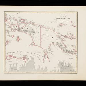
Map featuring two maritime routes by Dutch explorers along the north coast of New Guinea: Jacob Le Maire and Willem Schouten (1616); and Abel Tasmanin (1648). (From ‘Algemeene Atlas van Nederlandsche Indie [General Atlas of the Dutch East Indies]’.)

Kaart van de voornaamsten der Banda Eilanden

event1854

location_onIndonesia

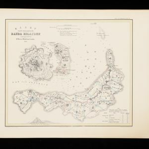
Map of the Banda Islands, with a volcano on Goenong Api, two forts (‘Ft. Belgica’ and ‘Ft. Nassau’) on Neira, and a list of the heights of the mountains. (From ‘Algemeene Atlas van Nederlandsche Indie [General Atlas of the Dutch East Indies]’.)

close