Search

Search Results

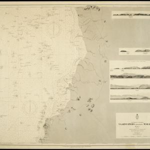
Westkust Celebes: Vaarwaters benoorden Makasser: Blad I

event1898

location_onIndonesia

Navigation map of the west coast of Celebes (Sulawesi), north of Makassar. Bathymetry (sea depth), lighthouses, shoals and other obstructions are marked, with trees and hills as landmarks, and elevations (side views of hills) to aid navigation.

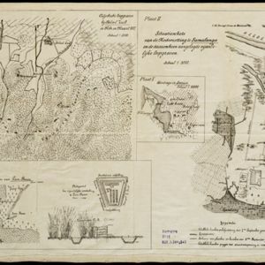
[Schetskaarten van versterkingen, loopgraven, stellingen, bentengs e.d. uit de Atjeh oorlog]

event1880

location_onIndonesia

Multiple maps from the Aceh War, spread over 12 sheets. Includes maps of fortifications, trenches, battle formations; building plans, including the Aceh Sultan’s palace; topographic maps; and drawings of a ‘kotta mara’ (fortified raft).

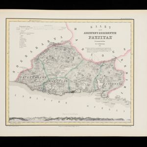
Kaart van de Assistent-Residentie Patjitan

event1859

location_onIndonesia

Map of part of the Dutch colonial administrative region of Patjitan (Pacitan, Java). Temple ruins, and a fort in the town of Patjitan, are marked. (From ‘Algemeene Atlas van Nederlandsche Indie [General Atlas of the Dutch East Indies]’.)

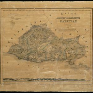
Kaart van assistent-residentie Patjitan

event1859

location_onIndonesia

Map of the residency of Patjitan (Pacitan), south coast of East Java, divided into administrative districts. At the base, there is an elevation (side view) drawing of terrain around the Bay of Patjitan. Villages, forts and ruined temples are marked.

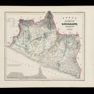
Kaart van de Residentie Djocjakarta

event1857

location_onIndonesia

Map of the Dutch colonial administrative region (residency) of Djocjakarta (Yogyakarta, Java), with its capital city of the same name at the centre. (From ‘Algemeene Atlas van Nederlandsche Indie [General Atlas of the Dutch East Indies]’.)

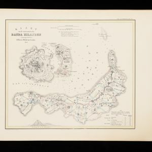
Kaart van de voornaamsten der Banda Eilanden

event1854

location_onIndonesia

Map of the Banda Islands, with a volcano on Goenong Api, two forts (‘Ft. Belgica’ and ‘Ft. Nassau’) on Neira, and a list of the heights of the mountains. (From ‘Algemeene Atlas van Nederlandsche Indie [General Atlas of the Dutch East Indies]’.)

Algemeene Kaart van Nederlandsch Oostindie

event1842

location_onEast Timor, Indonesia, Malaysia, Singapore

This detailed map of the Dutch East Indies in the mid-19th century is spread over eight sheets, plus a cover sheet showing the whole area. There are numerous inset maps of islands, bays, cities etc.

Algemeene kaart van Nederlandsch Oostindie

eventc.1839-1855

location_onEast Timor, Indonesia, Malaysia, Singapore

This map of the Dutch East Indies is spread over eight sheets, with a hand-drawn cover sheet showing the whole area. There are numerous inset maps of islands, bays, cities etc. Two of the inset maps have a replacement map pasted over them.

close

  • Filter from 1839 to 1898

Current results range from 1839 to 1898