
Search


Refine your results
- Filter from 1755 to 1847
Current results range from 1755 to 1847
Location
- check_box_outline_blankIndonesia12
- check_box_outline_blankMalaysia11
- check_box_outline_blankSingapore11
- check_box_outline_blankBrunei1
- check_box_outline_blankCambodia1
- check_box_outline_blankEast Timor1
- check_box_outline_blankLaos1
- check_box_outline_blankMyanmar1
- check_box_outline_blankPapua New Guinea1
- check_box_outline_blankPhilippines1
- check_box_outline_blankSoutheast Asia1
- check_box_outline_blankThailand1
- more Simple Location »
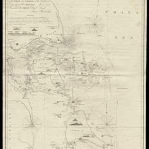
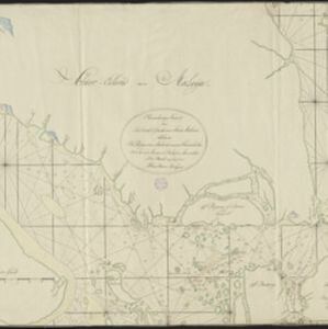
- check_box[remove]Singapore Strait12
- check_box_outline_blankMalay Peninsula11
- check_box_outline_blankSouth China Sea9
- check_box_outline_blankSumatra7
- check_box_outline_blankBintan6
- check_box_outline_blankBangka Strait5
- check_box_outline_blankBatam5
- check_box_outline_blankBintang Island4
- check_box_outline_blankChina Sea4
- check_box_outline_blankStrait of Malacca4
- check_box_outline_blankBangka Strasse3
- check_box_outline_blankChinensisches Meer3
- more Detailed Location »
Land and Sea Routes
Cultural and Political Regions
Environmental Features
Insets and Attributes
Map Production Details
- check_box_outline_blankRoss, Daniel4
- check_box_outline_blankBerghaus, Heinrich Karl Wilhelm3
- check_box_outline_blankJättnig, Wilhelm3
- check_box_outline_blankBateman, John2
- check_box_outline_blankWalker, John2
- check_box_outline_blankAprès de Mannevillette, Jean-Baptiste d'1
- check_box_outline_blankBellin, Jacques Nicolas1
- check_box_outline_blankBlack, Alexander1
- more Map Maker »


