Search Results
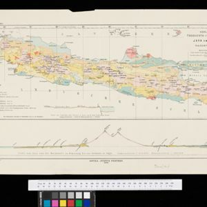
Geologische übersichts- und vulkan-karte von Java und Madura
1898
Indonesia
Geological map of Java and Madura, showing rock types and the locations of volcanoes. There are two cross sections (elevations) showing the heights of terrain: one of Java; and one from Cambodia to the Indian Ocean, including Borneo and Java.
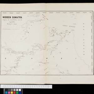
Midden-Sumatra: Reizen en onderzoekingen der Sumatra-expeditie... 1877-1879
1882
Indonesia
An Atlas produced by an expedition in central Sumatra, including: maps of topography, geology, a number of rivers in the region; drawings of mountains, graphs of lengths of roads; family trees of the royal families of Djambi (Jambi) and Palembang.
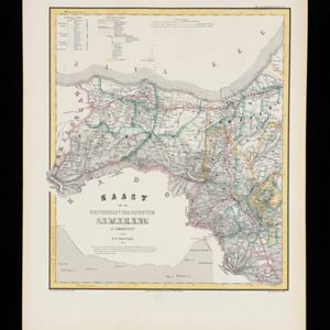
Kaart van de Westerhelft der Residentie Samarang
1858
Indonesia
Map of the Dutch colonial administrative region (residency) of Samarang (Semarang, Java), with post offices and routes, a saw mill and a sugar factory marked. (From ‘Algemeene Atlas van Nederlandsche Indie [General Atlas of the Dutch East Indies]’.)

Kaart van de Oosterhelft der Residentie Samarang
1858
Indonesia
Map of the Dutch colonial administrative region (residency) of Samarang (Semarang, Java) with ruined temples, a sugar factory, tobacco warehouse and rice mill. (From ‘Algemeene Atlas van Nederlandsche Indie [General Atlas of the Dutch East Indies]’.)
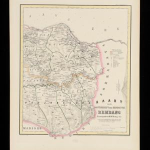
Kaart van de Oosterhelft der Residentie Rembang
1858
Indonesia
Map of the eastern half of the Dutch colonial administrative region (residency) of Rembang, Java. A sugar factory and tobacco establishment are marked. (From ‘Algemeene Atlas van Nederlandsche Indie [General Atlas of the Dutch East Indies]’.)
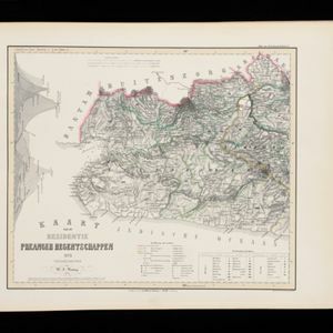
Kaart van de Residentie Preanger Regentschappen: No. I
1857
Indonesia
Map of the Dutch colonial administrative region (residency) of Preanger Regentschappen, Java with warehouses, factories, mills, cinchona (‘kina’) plantations. (From ‘Algemeene Atlas van Nederlandsche Indie [General Atlas of the Dutch East Indies]’.)
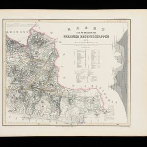
Kaart van de Residentie Preanger Regentschappen: No. II
1857
Indonesia
Map of the Dutch colonial administrative region (residency) of Preanger Regentschappen, Java with warehouses, factories, mills, cinchona (‘kina’) plantations. (From ‘Algemeene Atlas van Nederlandsche Indie [General Atlas of the Dutch East Indies]’.)

