Search

Search Results

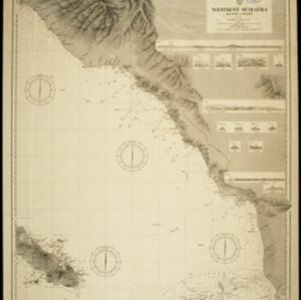
Westkust Sumatra: Melaboe tot Singkel

event1898

location_onIndonesia

Navigation map of the northwest coast of Sumatra. Bathymetry (sea depth), anchor points, shoals and other obstructions (clay, coral, mud, stones, sand) are marked, with hills and settlements to use as landmarks.

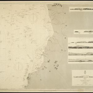
Westkust Celebes: Vaarwaters benoorden Makasser: Blad II

event1898

location_onIndonesia

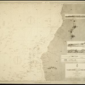
Navigation map of the west coast of Celebes (Sulawesi), north of Makassar. Bathymetry (sea depth), shoals and other obstructions are marked, with hills and settlements as landmarks, and elevations (side views of hills) to aid navigation.
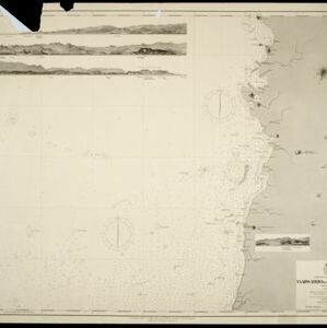
Westkust Celebes: Vaarwaters benoorden Makasser: Blad I

event1898

location_onIndonesia

Navigation map of the west coast of Celebes (Sulawesi), north of Makassar. Bathymetry (sea depth), lighthouses, shoals and other obstructions are marked, with trees and hills as landmarks, and elevations (side views of hills) to aid navigation.
Westkust Celebes: Vaarwaters benoorden Makasser: Blad III

event1898

location_onIndonesia

Navigation map of the west coast of Celebes (Sulawesi), north of Makassar. Bathymetry (sea depth), shoals and other obstructions are marked, with hills and settlements as landmarks, and elevations (side views of hills) to aid navigation.

Ankerplaatsen en mondingen van rivieren op de Noord- en Oostkust van Sumatra: Blad II

event1896

location_onIndonesia

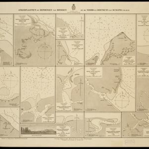
Fifteen separate maps of bays and river mouths of Sumatra, including bathymetry (sea depth), anchor points, reefs and shoals, and tide data. There is a drawing of the mouth of the Pidada-rivier.

Bataviasche havenwerken

event1880

location_onIndonesia

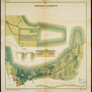
A map of the rail, canal and road connections of Batavia (Jakarta, Java) and its port of Tanjung Priok. There is an inset map of the port—harbours, dock, coal sheds, well and water tower—and cross-sections of the inner harbour walls and harbour dam.

Kaart van een Gedeelte der Kust van Cochin-China, met de baai en haven van Turon, en het eiland Kal Lao

event1793

location_onVietnam

A map to aid navigation around the Bay of Turon (location of modern city of Da Nang, Vietnam). Bathymetry (sea depth) is marked, as is the route of the Dutch ship ‘Jackaij’ on her departure from the bay. An elevation view of the land is shown below.

Insulae Iavae pars Occidentalis

event1728

location_onIndonesia

A map of Java with mountains, jungles, animals and crops. Bathymetry (sea depth) is marked, including on an inset map of Batavia harbour. Illustrations include Batavia Castle, and a lion—representing Belgium—receiving tribute and enslaving locals.

Insulae Iavae pars Occidentalis

eventc.1720

location_onIndonesia

A map of west Java with mountains, jungles, animals and crops. Details include sea depth, an inset map of Batavia harbour, and an illustration of a lion—representing Belgium—receiving tribute and enslaving locals. A similar map of east Java was made.

Insulae Iavae Pars Orientalis

eventc.1720

location_onIndonesia

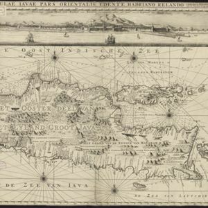
A map of eastern Java with mountains, jungles, animals and crops. Bathymetry (sea depth) is marked, and there is a painting of Batavia harbour and castle. A similar map depicting western Java was also produced, as were maps featuring both parts.

close