Search

Search Results

Atlas van Nederlandsch Oost-Indië

eventc.1897-1904

location_onIndonesia

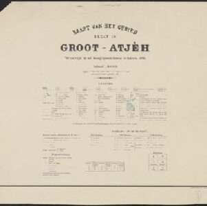
Very detailed atlas of the entire Dutch East Indies, over 16 map sheets, with a cover and overview map. Includes topographic maps, inset maps of cities and islands, and maps featuring land and sea routes, languages, geology, colonial territory etc.

Ankerplaatsen en mondingen van rivieren op de Noord- en Oostkust van Sumatra: Blad II

event1896

location_onIndonesia

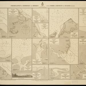
Fifteen separate maps of bays and river mouths of Sumatra, including bathymetry (sea depth), anchor points, reefs and shoals, and tide data. There is a drawing of the mouth of the Pidada-rivier.

Kaart van het noorder schiereiland van Halemahera

event1888

location_onIndonesia

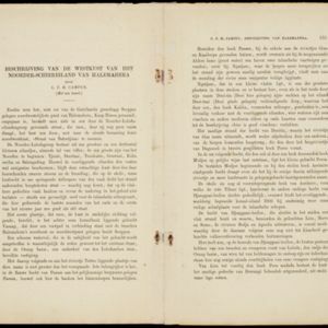
Included in a book chapter describing the northern peninsula of Halmahera, this map focuses on the coasts and nearby islands, with the interior left mostly blank. There are seven elevation views of mountains, and two inset maps.

Principal Dutch colonies in the Indian seas

event1872

location_onBrunei, Indonesia, Malaysia

Two maps of the Dutch East Indies, decorated with drawings of local people and animals. Dutch colonial territory and local sultanates and provinces are highlighted. The heights of Java’s mountains and settlements are displayed in an elevation view.

Algemeene Kaart van Nederlandsch Oostindie

event1842

location_onEast Timor, Indonesia, Malaysia, Singapore

This detailed map of the Dutch East Indies in the mid-19th century is spread over eight sheets, plus a cover sheet showing the whole area. There are numerous inset maps of islands, bays, cities etc.

Algemeene kaart van Nederlandsch Oostindie

eventc.1839-1855

location_onEast Timor, Indonesia, Malaysia, Singapore

This map of the Dutch East Indies is spread over eight sheets, with a hand-drawn cover sheet showing the whole area. There are numerous inset maps of islands, bays, cities etc. Two of the inset maps have a replacement map pasted over them.

A New Chart of the Eastern Straits, or the Straits to the East of Java, with a part of the Banda Sea

event1798

location_onEast Timor, Indonesia

A late 18th century maritime navigation map of the straits east of Java, with drawings of the elevations of the straits. The map is also marked with routes of explorers, including the return of Captain Cook’s HMS Endeavour from Australia in 1770.

Plan of the road and city of Batavia on the north coast of Java Island

event1790

location_onIndonesia

Map of the Batavia (Jakarta) Bay roadstead, a body of water sheltered from tides/currents, for ships to anchor. The web of lines is a rhumbline network, the numbers indicate sea depth (bathymetry), and there are written notes, all to aid navigation.

Carte d'Asie divisée en ses principaux etats

event1776

location_onMyanmar, Papua New Guinea, Philippines, Singapore, Southeast Asia, Thailand, Vietnam, Malaysia, Laos, Indonesia, East Timor, Cambodia, Brunei

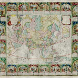
The 20 colourful illustrations around the border of this 18th century map of Asia depict a variety of historical and biblical scenes, including the Crucifixion of Jesus and the sacking of Troy. Each scene has a description in French and Spanish.

Nova Totius Asiae Tabula

eventc.1750

location_onBrunei, Cambodia, East Timor, Indonesia, Laos, Malaysia, Myanmar, Philippines, Singapore, Southeast Asia, Thailand, Vietnam

This elaborately illustrated map of Asia is decorated with images of angels and cherubs, various figures dressed in colourful robes, wild animals, a procession including elephants and camels, and a double hemisphere world map.

Insulae Philippinae

event1748

location_onPhilippines, Malaysia

A mid-18th century map of the Philippines archipelago, with an inset plan of the city of Manila and Pasig River. The cartouche features a drawing of an Asian and a Western man taking part in a cockfight, with a crocodile in the foreground.

close