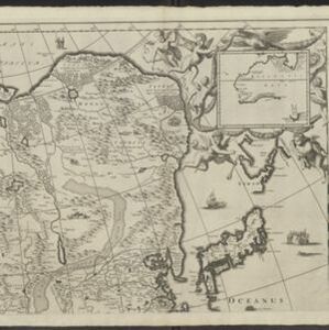
Charte von Asien: nach den bewährtesten astronomischen Beobachtungen, den neuesten Reisen, und den vorzüglichsten Charten, insonderheit aber der Geographie des Hrn I.C. Gatterers gemäss
1793
Brunei, Cambodia, East Timor, Indonesia, Laos, Malaysia, Myanmar, Papua New Guinea, Philippines, Singapore, Southeast Asia, Thailand, Vietnam
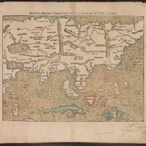
Map of Asia, with mainland Southeast Asia in red and divided into ancient kingdoms, Sunda Islands in yellow, and the Philippines in grey. Twelve different scales are shown, as different countries used different measurement systems.