Search

Search Results

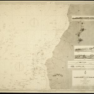
Westkust Celebes: Vaarwaters benoorden Makasser: Blad II

event1898

location_onIndonesia

Navigation map of the west coast of Celebes (Sulawesi), north of Makassar. Bathymetry (sea depth), shoals and other obstructions are marked, with hills and settlements as landmarks, and elevations (side views of hills) to aid navigation.

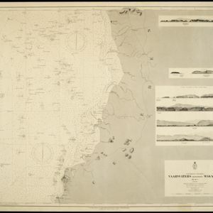
Westkust Celebes: Vaarwaters benoorden Makasser: Blad I

event1898

location_onIndonesia

Navigation map of the west coast of Celebes (Sulawesi), north of Makassar. Bathymetry (sea depth), lighthouses, shoals and other obstructions are marked, with trees and hills as landmarks, and elevations (side views of hills) to aid navigation.

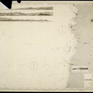
Westkust Celebes: Vaarwaters benoorden Makasser: Blad III

event1898

location_onIndonesia

Navigation map of the west coast of Celebes (Sulawesi), north of Makassar. Bathymetry (sea depth), shoals and other obstructions are marked, with hills and settlements as landmarks, and elevations (side views of hills) to aid navigation.
Accuratissima totius Asiæ tabula: In omnes partes divisa

event1750

location_onBrunei, Cambodia, East Timor, Indonesia, Laos, Malaysia, Myanmar, Philippines, Singapore, Southeast Asia, Thailand, Vietnam

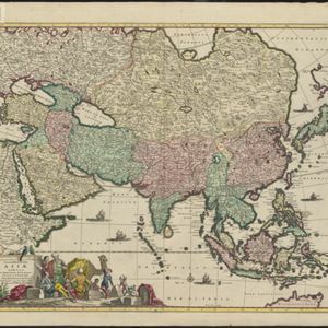
A detailed late 17th century map of Asia, showing ancient kingdoms and the place names of important settlements. The cartouche features a drawing of Asian traders selling their goods, while a camel, monkey and two birds look on.

L'Asie dressée sur les observations de Mrs. de l'Academie Royale de Sciences

event1730

location_onBrunei, Cambodia, East Timor, Indonesia, Laos, Malaysia, Myanmar, Philippines, Singapore, Southeast Asia, Thailand, Vietnam

This map features maritime routes: between Siam and Batavia; and five routes of the explorers Juan Gaetan and Olivier du Nord (dated 1542) east of the Philippines. The cartouche has a colourful illustration of Asian people in traditional costume.

Deese wassende pas-kaart van Oost-Indien, is nu te bekoomen voor die deselve begeeren

eventc.1728-1738

location_onBrunei, Cambodia, East Timor, Indonesia, Laos, Malaysia, Myanmar, Papua New Guinea, Philippines, Singapore, Southeast Asia, Thailand, Vietnam

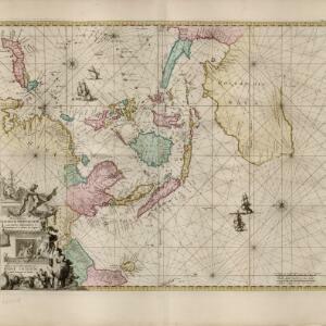
Map of the Indian Ocean dominated by a rhumbline network—a web of interconnected lines used to help plot routes—with a compass rose at the centre. At the top there are (incomplete) drawings of people with text in Dutch, French, English and Spanish.

Exactissima Asiae delineatio, in praecipuas regiones, ceterasq partes divisa

event1727

location_onBrunei, Cambodia, East Timor, Indonesia, Laos, Malaysia, Myanmar, Philippines, Singapore, Southeast Asia, Thailand, Vietnam

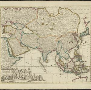
The cartouche on this late 17th century map of Asia features an illustration of Asian traders negotiating a deal. In the background, their workers carry packages and tend to a camel.

Asiæ in tabula geographica delineatio

event1720

location_onBrunei, Cambodia, Indonesia, East Timor, Malaysia, Myanmar, Philippines, Singapore, Laos, Southeast Asia, Thailand, Vietnam, Papua New Guinea

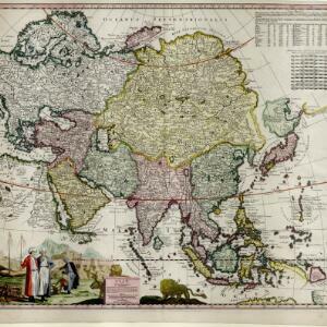
This colourful early 18th century map shows Asia along with part of Europe and Africa. It is decorated with a painting of Asian traders negotiating over a sale of carpets, while three lions, a ship and city walls complete the picture.

Orientaliora Indiarum Orientalium cum insulis adjacentibus à promontorio C. Comorin ad Iapan = Pascaert van t'Ooster gedeelte van Oost Indien van C. Comorin tot Iapan

event1715

location_onBrunei, Cambodia, East Timor, Indonesia, Laos, Malaysia, Myanmar, Philippines, Singapore, Southeast Asia, Thailand, Vietnam

The cartouche on this early 18th century navigation map features the title in Latin and Dutch, as well as a wealth of detailed drawings illustrating the region’s trade: Asian merchants, their goods and animals, and two female European customers.

Asia

eventc.1710

location_onBrunei, Cambodia, East Timor, Indonesia, Laos, Malaysia, Myanmar, Philippines, Singapore, Southeast Asia, Thailand, Vietnam

The illustration on this map highlights the wealth of the Asian trade routes, with merchants wearing elaborate robes presenting valuable treasures to a royal figure. A monkey, tortoise and camel emphasise the ‘exoticism’ of Asia.

close