Search Results

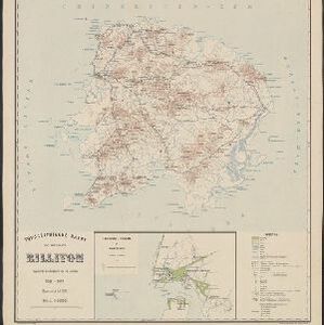
Topographische kaart van het eiland Billiton: vluchtig opgenomen in de jaren 1877-1878
1894
Indonesia
This map of the island of Billiton (Belitung, Indonesia) features mountains, rivers, railways, roads, settlements, coconut plantations and administrative borders. An inset map shows the island’s port and capital city Tanjung Pandan.

Reduzirte Karte vom Sunda- oder Borneo-Meere
1835
Indonesia, Malaysia
A navigation map of the Java Sea and Sunda Islands, with bathymetry (sea depth), maritime routes, shoals and reefs, and elevations (side views of terrestrial landmarks). Inset maps feature the bay at Batavia and the straits between the Sunda Islands.


