Search

Search Results

A map of British North Borneo

event1899

location_onMalaysia, Brunei, Indonesia

The colonial territories of British North Borneo are shown in pink on this late 19th century map, with Brunei and Sarawak in green, and Dutch colonial territory in yellow. Sea routes around the British Empire are depicted on an inset map.

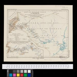
Karte des Mahakam-Flusses in Borneo: Nach den aufnahme der Niederländischen Expedition zur Durchquerung Borneo's, 1896-1897

event1898

location_onIndonesia, Malaysia

Map of the Mahakam River in Borneo, based on an expedition by the Dutch explorer Dr. Anton Nieuwenhuis in the late 19th century. An inset map shows the upper reaches of the river at twice the scale of the main map.

Kaart van 't noordwestelijke gedeelte der Residentie Ambon

event1898

location_onIndonesia

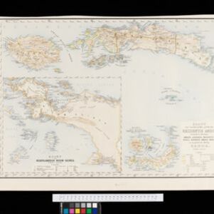
Map of the residency of Ambon in the Maluku Islands, divided by colour-coded administrative borders. There are inset maps the Banda Islands—including the nutmeg plantations and the town of Neira with its fort and hospital—and of Dutch New Guinea.

Kaart der Molukken

event1898

location_onIndonesia, East Timor

Map of the Moluccas (Maluku Islands) divided into the residencies of Ternate (orange borders) and Ambon (green borders). Many place names are in Dutch and Malay, and there is an inset map of the city of Ambon. Timor is marked as Portuguese territory.

Queensland and British New Guinea

event1897

location_onIndonesia, Papua New Guinea

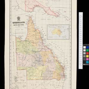
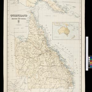
British New Guinea is highlighted in red on this map of New Guinea and Australia, with German and Dutch colonial areas also partially shown. There is a line marking the boundary between the British and German spheres of influence.

Queensland and British New Guinea

event1897

location_onIndonesia, Papua New Guinea

New Guinea is divided between British, German and Dutch colonial powers on this map of New Guinea and Australia. There is a line marking the boundary between the British and German spheres of influence. Bays and islands around the coast are named.

Route chart to India and the East

event1895

location_onBrunei, Cambodia, East Timor, Indonesia, Laos, Malaysia, Myanmar, Philippines, Singapore, Southeast Asia, Thailand, Vietnam

Map of Asia featuring steamship routes—including around Southeast Asia—connecting ports such as Penang, Singapore, Batavia (Jakarta), Saigon, Bangkok, Rangun (Yangon), Manila, Macassar (Makassar) etc. There is also an inset map of Singapore.

A map of British North Borneo

event1894

location_onMalaysia, Brunei, Indonesia

The colonial territories of British North Borneo are shown in pink on this late 19th century map, with Brunei and Sarawak in green, and Dutch colonial territory in yellow. Sea routes around the British Empire are depicted on an inset map.
Queensland & British New Guinea

eventc.1894-1897

location_onIndonesia, Papua New Guinea

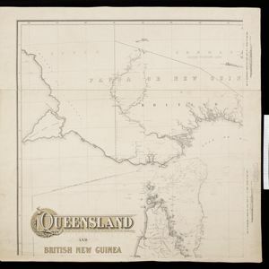
The first two sheets of this eight-sheet map focus on British New Guinea, with German and Dutch colonial areas of New Guinea also shown in part. There is a line marking a proposed change in border between Dutch and British territory.

Sketch map of Baram District, Sarawak, Borneo

event1893

location_onMalaysia, Indonesia, Brunei

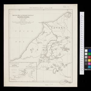
Map of the Baram District, Borneo, by the British ethnologist Charles Hose, divided into territories of indigenous peoples: Malanaus, Kayans, Kenniahs, Orang-Bukits, Sibops, Madangs, Kalabits, Balaits, Tutongs, Kadayans and Malays.

Map of British New Guinea

event1892

location_onPapua New Guinea, Indonesia

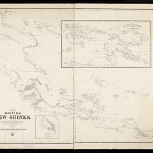
Map of British New Guinea, focusing on the sea (islands, shoals, reefs), coast (settlements, bays), mountains and land (‘dense forest’, ‘timbered with Eucalyptus’). Inset maps of Port Moresby, Samarai Island, and the whole island of New Guinea.

Schutzgebiet der Neu-Guinea-Kompanie

eventc.1892-1893

location_onIndonesia, Papua New Guinea

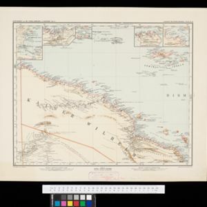
Very detailed six-sheet map of eastern New Guinea, with numerous inset maps of bays and islands, and other inset maps covering ethnography, explorers of the region, marine routes across the Pacific Ocean, cannibalism, missionaries activity etc.

close

  • Filter from 1720 to 1899

Current results range from 1720 to 1899