Kaart van een gedeelte van Borneo: met aanwijzing van de grens tusschen het Nederlandsch gebied en dat van het Britsche Protectoraat
event1891
location_onIndonesia, Malaysia, Myanmar
Kaart van een gedeelte van Borneo: met aanwijzing van de grens tusschen het Nederlandsch gebied en dat van het Britsche Protectoraat
event1891
location_onIndonesia, Malaysia
Map of the Kingdom of Siam and its dependencies
event1888
location_onCambodia, Laos, Malaysia, Myanmar, Thailand, Vietnam
Reduzirte Karte von den Philippinen und den Sulu Inseln
event1884
location_onPhilippines, Malaysia, Indonesia
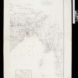
India showing missionary stations
event1884
location_onMyanmar, Thailand, Malaysia, Singapore, Indonesia
Map of the Malay Peninsula
event1883
location_onMalaysia, Singapore
Map of the Malay Peninsula
event1883
location_onMalaysia, Singapore
A Map of South Eastern Asia from Peking to Singapore... with an enlarged plan of the environs of Hanoi, on the Red River
event1883
location_onBrunei, Cambodia, Indonesia, Laos, Malaysia, Myanmar, Singapore, Thailand, Vietnam
Algemeene kaart van Nederlandsch Indië
event1879
location_onCambodia, Indonesia, Papua New Guinea, East Timor, Southeast Asia, Thailand, Malaysia, Philippines, Laos, Vietnam, Singapore, Brunei, Myanmar
Map of the Malay Peninsula 1879
event1879
location_onMalaysia, Singapore, Thailand
Asiatic archipelago
event1876
location_onVietnam, Myanmar, Papua New Guinea, Philippines, Singapore, Southeast Asia, Thailand, Malaysia, Laos, Indonesia, East Timor, Cambodia, Brunei