Search

Search Results

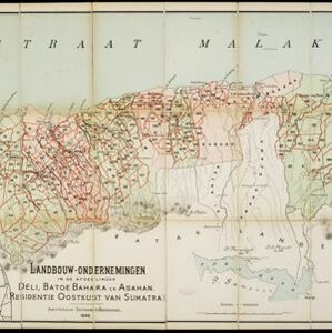
Landbouw-ondernemingen in de afdeelingen Deli, Batoe Bahara en Asahan (Residentie Oostkust van Sumatra)

event1898

location_onIndonesia

On this map of the east coast of northern Sumatra, red borders divide the land into agricultural properties, each with a number to identify it. The whole area is divided into colour-coded administrative districts.

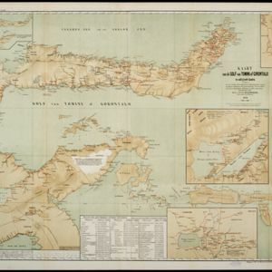
Kaart van de Golf van Tomini of Gorontalo en omliggende landen

event1878

location_onIndonesia

Map of the Minahasa and East peninsulas of Celebes (Sulawesi) focusing on the road system (shown by red lines). There are four inset maps, including one showing indigenous tribal areas, and a list of places with their latitude, longitude and height.

Geognostische kaart van het Oembilien kolenveld in de Padangsche bovenlanden, Sumatra's Westkust

event1874

location_onIndonesia

A geological map, spread over eight sheets, showing the types of rock and minerals found in the Oembilien coalfield, in the Padang Highlands on Sumatra’s west coast. There are also additional geological profiles.

Nieuwe kaart van het eiland Java

event1816

location_onIndonesia

Map of Java marked with administrative regions, settlements, roads, mountains and rivers. There is an inset map of the port city of Batavia, with its system of rivers and canals, and its surrounding country with villages, fields and plantations.

close

  • Filter from 1816 to 1898

Current results range from 1816 to 1898