location_onMyanmar, Malaysia, Indonesia, Singapore, Thailand
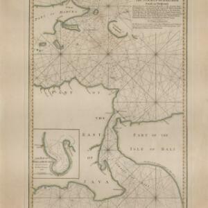
The North Coast of Java, from Madura to Samarang
event1818
location_onIndonesia
The North Coast of Java, from Madura to Samarang
event1818
location_onIndonesia
A map of Java: chiefly from surveys made during the British administration
event1817
location_onIndonesia
A map of Java: chiefly from surveys made during the British administration
event1817
location_onIndonesia
A new chart shewing the navigation through the Strait of Sunda to Batavia
event1815
location_onIndonesia
A new chart shewing the navigation through the Strait of Sunda to Batavia
event1815
location_onIndonesia
A New Chart of the Eastern Straits, or the Straits to the East of Java, with a part of the Banda Sea
event1798
location_onEast Timor, Indonesia
Bowles's new one-sheet map of Asia, divided into its empires, kingdoms, states, and other subdivisions
event1795
location_onBrunei, Cambodia, East Timor, Indonesia, Laos, Malaysia, Myanmar, Papua New Guinea, Philippines, Singapore, Southeast Asia, Thailand, Vietnam
Chart... Shewing the Connection and respective distances by Sea, between the principal harbours and Settlements in the East Indies
event1794
location_onThailand, Myanmar, Malaysia, Indonesia
A new chart of the straits of Sunda: From the manuscript of the Dutch East India Company
event1794
location_onIndonesia
A new plan of the Straits, situated to the east of Java & Madura commonly called the Straits of Bali and of Pondi and Respondi