Search

Search Results

Bowles's new one-sheet map of Asia, divided into its empires, kingdoms, states, and other subdivisions

event1795

location_onBrunei, Cambodia, East Timor, Indonesia, Laos, Malaysia, Myanmar, Papua New Guinea, Philippines, Singapore, Southeast Asia, Thailand, Vietnam

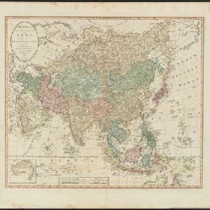
A late 18th century map of Asia published in London by John Bowles, with regions indicated by colour. Central Borneo is labelled ‘Part inhabited by the Biayos’, which is seen on many contemporary maps, often with the comment ‘a savage people’.

Archipel des Indes Orientales: qui comprend les Isles de la Sonde, Moluques et Philippines

eventc.1757-1786

location_onBrunei, Cambodia, East Timor, Indonesia, Malaysia, Philippines, Singapore, Thailand, Vietnam, Southeast Asia

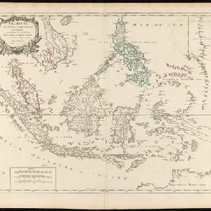
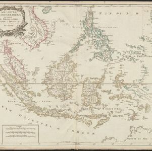
This 18th century map of Southeast Asia by the French cartographer Gilles Robert de Vaugondy features the national borders of the Philippines in green, and of modern Indonesia in yellow. The Malay Peninsula and modern Cambodia and Vietnam are in red.

Archipel des Indes Orientales: qui comprend les Isles de la Sonde, Moluques et Philippines

event1750

location_onBrunei, Cambodia, East Timor, Indonesia, Malaysia, Philippines, Singapore, Southeast Asia, Thailand, Vietnam

This 18th century map of Southeast Asia by the French cartographer Gilles Robert de Vaugondy features the national borders of the Philippines in green, and of modern Indonesia in yellow. The Malay Peninsula and modern Cambodia and Vietnam are in red.

Charte von Ost-Indien und den angroentzenden Laendern

event1737

location_onBrunei, Cambodia, East Timor, Indonesia, Laos, Malaysia, Myanmar, Philippines, Singapore, Southeast Asia, Thailand, Vietnam

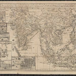
The London-based cartographer Herman Moll (1654?–1732) created this map of Asia in the early 18th century. There are five insets showing Asian trading cities, including of the ports of Batavia (Jakarta) and Bantam (Banten) in western Java.

Insulae Iavae pars Occidentalis

eventc.1710-1719

location_onIndonesia

A map of Java with mountains, jungles, animals and crops. Bathymetry (sea depth) is marked, including on an inset map of Batavia harbour. Illustrations include Batavia Castle, and a lion—representing Belgium—receiving tribute and enslaving locals.

Exactissima Asiae delineatio, in praecipuas regiones, ceterasq partes divisa

event1702

location_onBrunei, Cambodia, East Timor, Indonesia, Laos, Malaysia, Myanmar, Philippines, Singapore, Southeast Asia, Thailand, Vietnam

The illustration on this map highlights the wealth of the Asian trade routes, with merchants wearing colourful and elaborate robes presenting valuable treasures to a royal figure. A monkey, tortoise and camel emphasise the 'exoticism' of Asia.

close

  • Filter from 1702 to 1794

Current results range from 1702 to 1794