Search

Search Results

Mar di India

event1644

location_onBrunei, Cambodia, East Timor, Indonesia, Laos, Malaysia, Myanmar, Philippines, Singapore, Southeast Asia, Thailand, Vietnam

This mid-17th century map of Southeast Asia is from Isaac Commelin’s book describing the voyages of the Dutch East India Company ‘Begin ende voortgangh…’. There is an inset map of the island of Botton (Buton Island, southeast of Celebes (Sulawesi)).

Les Isles Molvcqves; Celebes, Gilolo, &c.

event1652

location_onIndonesia, East Timor, Papua New Guinea

This map of the islands between Borneo and New Guinea features inset maps of the important spice trading islands (‘Spice Islands’): ‘Les Isles Molucques’ (Maluku Islands) and ‘Isles de Banda’ (Banda Islands).

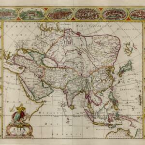
Asiæ nova descriptio

event1660

location_onBrunei, Cambodia, East Timor, Indonesia, Laos, Malaysia, Myanmar, Singapore, Philippines, Southeast Asia, Thailand, Vietnam

This mid-17th century map of Asia is illustrated with drawings of Asian people wearing traditional clothing, including a man and woman from Java in Southeast Asia. There are also drawings and plans of important Asian cities.

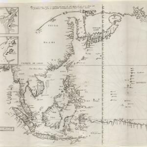
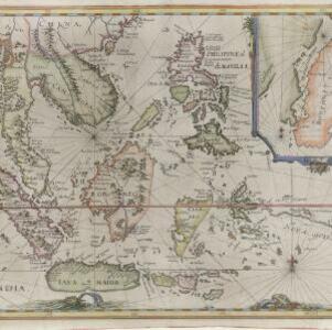
[Map of the East Indies]

event1666

location_onVietnam, Myanmar, Papua New Guinea, Philippines, Singapore, Southeast Asia, Thailand, Malaysia, Laos, Indonesia, East Timor, Cambodia, Brunei

This mid-17th century map of Southeast Asia has a maritime focus, with shoals and reefs, and the coastal areas marked in great detail, while the interiors remain mostly blank. The Great Wall of China can be seen at the top of the map.

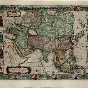
A new plaine and exact map of Asia

event1671

location_onBrunei, Cambodia, East Timor, Indonesia, Laos, Malaysia, Myanmar, Philippines, Singapore, Southeast Asia, Thailand, Vietnam

This colourful map of Asia is illustrated with drawings of Asian people wearing traditional clothing, including a man and woman from Java in Southeast Asia, and drawings of important ports such as Bantan (Banten) situated at the western end of Java.

Exactissima Asiae delineatio, in praecipuas regiones, ceterasq partes divisa

eventc.1700

location_onBrunei, Cambodia, East Timor, Indonesia, Laos, Malaysia, Myanmar, Philippines, Singapore, Southeast Asia, Thailand, Vietnam

The illustration on this map highlights the wealth of the Asian trade routes, with merchants wearing elaborate robes presenting valuable treasures to a royal figure. A monkey, tortoise and camel emphasise the 'exoticism' of Asia.

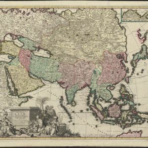
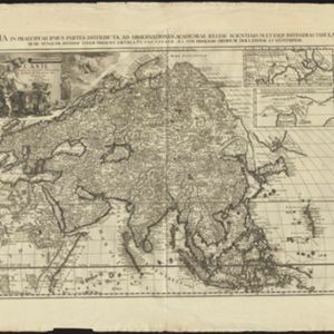
L'Asie, selon les nouvelles observations de Messrs. de l'Academie des Sciences

event1713

location_onBrunei, Cambodia, East Timor, Indonesia, Laos, Malaysia, Myanmar, Philippines, Singapore, Southeast Asia, Thailand, Vietnam

This early 18th century map of Asia features a drawing of a woman burning offerings on an altar, while two children carry cornucopias, and a camel looks on. The Roman god Mercury descends from the sky in the background wearing his winged helmet.

To the Right Honourable William, Lord Cowper, Lord High Chancellor of Great Britain, this map of Asia

eventc.1715

location_onVietnam, Myanmar, Papua New Guinea, Philippines, Singapore, Southeast Asia, Thailand, Malaysia, Laos, Indonesia, East Timor, Cambodia, Brunei

The arrows on this map show the direction of the seasonal monsoons: each arrow has a label, indicating the month. The northeast coast of Borneo is labelled ‘A Desart [desert/deserted?] Coast’, while the south is labelled ‘Pepper Country’.

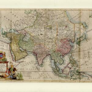
To the Right Honourable William, Lord Cowper, Lord High Chancellor of Great Britain, this map of Asia

event1715

location_onVietnam, Myanmar, Papua New Guinea, Philippines, Singapore, Southeast Asia, Thailand, Malaysia, Laos, Indonesia, East Timor, Cambodia, Brunei

This map is dedicated to William Cowper, whose coat of arms sits atop the cartouche. It features two horses holding a crest with three red martlets (mythical birds used in heraldry). The colourful cartouche also features Asian traders.

A map of the East-Indies and the adjacent countries: with the settlements, factories and territories, explaning what belongs to England, Spain, France, Holland, Denmark, Portugal &c.

event1720

location_onBrunei, Cambodia, East Timor, Indonesia, Laos, Malaysia, Myanmar, Philippines, Vietnam, Thailand, Southeast Asia, Singapore

This map showcases the colonial territories of Southeast Asia in the 18th century, with text detailing trading information and the products of each region. There are five inset maps featuring plans of specific trading ports.

close