Search

Search Results

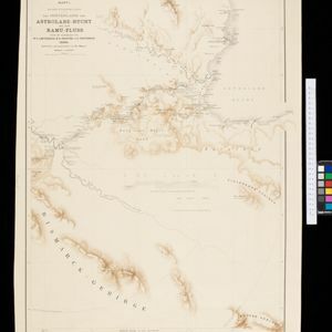
Kaiser Wilhelms-Land: Das Hinterland der Astrolabe-Bucht bis zum Ramu-Fluss

event1896

location_onPapua New Guinea

Map of part of the north coast of Kaiser-Wilhelmsland (German New Guinea) spread over two sheets. It focuses on rivers, noting width, depth, temperature, currents, vegetation etc.; and on mountains, showing heights and side views (elevations).

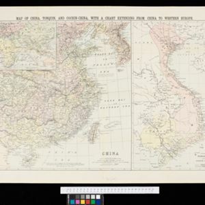
Map of China, Tonquin and Cochin-China, with a chart extending from China to western Europe

event1883

location_onCambodia, Laos, Thailand, Vietnam

Two maps, one of which features mainland Southeast Asia: Anam (Tonquin and Cochin China) in red, Lower Cochin China in green, Cambodia in yellow, and Siam in white. An inset map shows maritime routes between Europe and Asia.

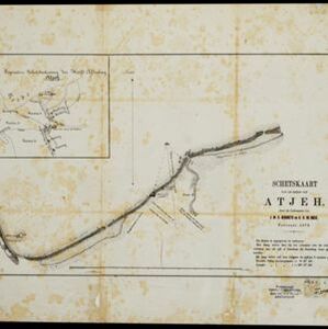
Schetskaart van de reede van Atjeh

event1873

location_onIndonesia

A map of the coast of Atjeh (Aceh), Sumatra, with bathymetry (sea depth), tide information, coconut trees, nipa palm, sugarcane, and two forts. An inset map of the town of Atjeh (Banda Aceh) shows the river, palace, market and villages (‘kampong’).

close

  • Filter from 1873 to 1896

Current results range from 1873 to 1896