Search

Search Results

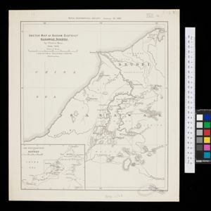
Sketch map of Baram District, Sarawak, Borneo

event1893

location_onMalaysia, Indonesia, Brunei

Map of the Baram District, Borneo, by the British ethnologist Charles Hose, divided into territories of indigenous peoples: Malanaus, Kayans, Kenniahs, Orang-Bukits, Sibops, Madangs, Kalabits, Balaits, Tutongs, Kadayans and Malays.

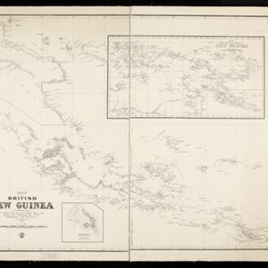
Map of British New Guinea

event1892

location_onPapua New Guinea, Indonesia

Map of British New Guinea, focusing on the sea (islands, shoals, reefs), coast (settlements, bays), mountains and land (‘dense forest’, ‘timbered with Eucalyptus’). Inset maps of Port Moresby, Samarai Island, and the whole island of New Guinea.

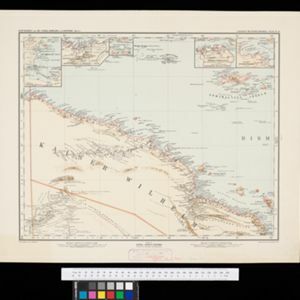
Schutzgebiet der Neu-Guinea-Kompanie

eventc.1892-1893

location_onIndonesia, Papua New Guinea

Very detailed six-sheet map of eastern New Guinea, with numerous inset maps of bays and islands, and other inset maps covering ethnography, explorers of the region, marine routes across the Pacific Ocean, cannibalism, missionaries activity etc.

British Burma, Pegu division: With additions to railways up to 1891

event1891

location_onMyanmar

Topographical map of the Pegu Division of British Burma (Myanmar), spread over four sheets. In addition to mountains, forests, rivers and wetlands, rice fields, routes (road, railway, path, telegraph), villages and pagodas are marked.

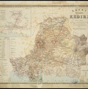
Kaart van de Residentie Kediri

event1891

location_onIndonesia

A map of the residency of Kediri (East Java) divided into regencies, which are then subdivided into districts. Mountains, roads, railways and rivers are shown. An inset map shows distances between settlements by road, tracks and paths.

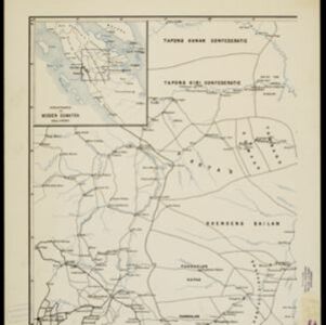
Schetskaart van een gedeelte van Midden Sumatra

event1891

location_onIndonesia

A map of central Sumatra spread over four sheets, divided into administrative districts, and with roads, railways and settlements marked. An inset map acts as a locator map, showing the main map’s location within Sumatra.

Java

event1890

location_onIndonesia

This detailed late 19th century map shows Java divided into regencies, and features mountains, roads, railways, and rivers. There is also an inset map of the port city of Batavia (Jakarta).

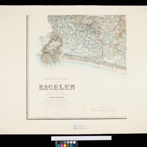
Topographische Kaart der residentie Bagelen

event1890

location_onIndonesia

The residency of Bagelen, Central Java, is shown divided into regencies and districts. Coffee, tea and cinnamon plantations, fields of rice, alang-alang and other crops, mountains, rivers, hot and mineral springs, settlements and routes are marked.

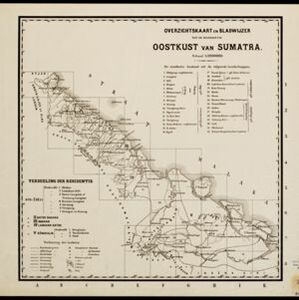
Kaart van de residentie Oostkust van Sumatra

event1889

location_onIndonesia

Detailed topographical map of the east coast of Sumatra, spread over 36 sheets plus a cover sheet of the whole area. Mountains and forests dominate, with villages, routes and administrative borders shown. With five inset maps of individual towns.

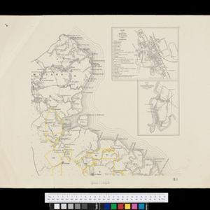
Kaart van de residentie Oostkust van Sumatra

event1889

location_onIndonesia

Detailed topographical map of the east coast of Sumatra, spread over 34 sheets. The area’s farms are listed and shown on the map, with types of crop grown. With five inset maps of individual towns. Two sheets and the cover sheet are missing.

Sumatra

event1889

location_onIndonesia

Map of the city of Padang on the west coast of Sumatra, with inset maps of the nearby islands, featuring residential, business, government and military areas. There are also agricultural areas with coconut, nutmeg, bamboo, nipa palm and sago palm.

Topographische Kaart der residentie Kedoe

event1889

location_onIndonesia

The residency of Kedoe (Kedu, Central Java), featuring crops (coffee, rice), routes (roads, bridal paths, paths), administrative borders (regencies, districts), mountains, forests and rivers. There is also an inset triangulation map.

close