Search

Search Results

A map of the East-Indies and the adjacent countries: with the settlements, factories and territories, explaning what belongs to England, Spain, France, Holland, Denmark, Portugal &c.

event1720

location_onBrunei, Cambodia, East Timor, Indonesia, Laos, Malaysia, Myanmar, Philippines, Vietnam, Thailand, Southeast Asia, Singapore

To the Right Honourable William, Lord Cowper, Lord High Chancellor of Great Britain, this map of Asia

event1720

location_onBrunei, Cambodia, East Timor, Indonesia, Laos, Malaysia, Myanmar, Papua New Guinea, Philippines, Singapore, Southeast Asia, Thailand, Vietnam

Algemeene Kaart van Nederlandsch Oostindie

event1842

location_onEast Timor, Indonesia, Malaysia, Singapore

General-Karte von Mittleren Sumatra von Padang bis Singkel

event1847

location_onIndonesia

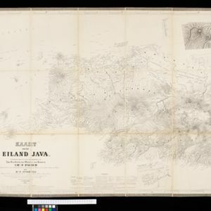
Kaart van het eiland Java

event1855

location_onIndonesia

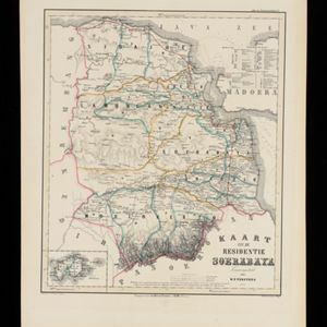
Kaart van de Residentie Soerabaya

event1858

location_onIndonesia

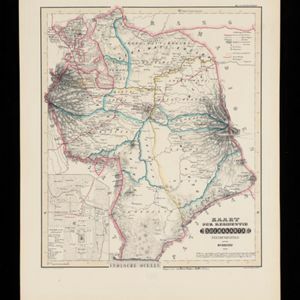
Kaart der Residentie Soerakarta

event1859

location_onIndonesia

Kaart van de Oosterhelft der Residentie Timor

event1860

location_onIndonesia

Map of the Malay Peninsula 1879

event1879

location_onMalaysia, Singapore, Thailand

Oudheidkundige Kaart van West en Midden Java

event1890

location_onIndonesia

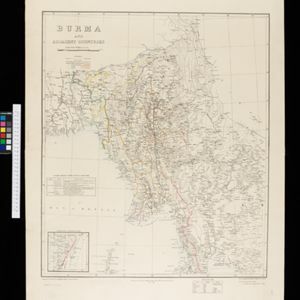
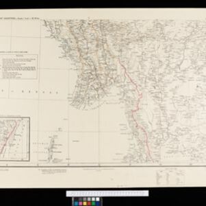
Burma and adjacent countries

event1892

location_onMyanmar, Thailand

Burma and adjacent countries

event1892

location_onMyanmar, Thailand

close

  • Filter from 1720 to 1898

Current results range from 1720 to 1898