Search

Search Results

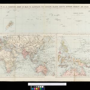
W. & A.K. Johnston's sheet of maps to illustrate the Caroline islands dispute between Germany and Spain

event1885

location_onSoutheast Asia, Papua New Guinea, Indonesia, Philippines, Malaysia, East Timor

Three maps of the Caroline Islands. One shows colonised areas in Southeast Asia: Dutch East Indies; British North Borneo, British New Guinea; German New Guinea; Philippines (Spain); Portuguese Timor. The route of the Challenger expedition is marked.

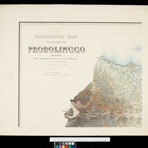
Topographische Kaart der residentie Probolinggo

event1885

location_onIndonesia

Four-sheet topographic map of the residency of Probolinggo (East Java), with an inset map of distances between locations by rail and road, and a signal map. Crops, fishing ponds, sugar factories, and coffee and salt warehouses are shown.

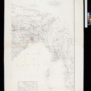
India showing missionary stations

event1884

location_onMyanmar, Thailand, Malaysia, Singapore, Indonesia

This two-sheet map of India and Burma (Myanmar) shows missionary stations. The legend lists 29 European and 13 American missionary societies and churches, each with their own symbol to show their location on the map.

Map of the Malay Peninsula

event1883

location_onMalaysia, Singapore

The Straits Settlements are in red, with the rest of the map marked with names of local peoples (‘Inhabited by the Johor Jakuns’) and resources (mines). Many areas are left blank or vague as unexplored or approximate. Inset map of Singapore city.

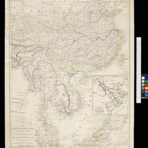
A Map of South Eastern Asia from Peking to Singapore... with an enlarged plan of the environs of Hanoi, on the Red River

event1883

location_onBrunei, Cambodia, Indonesia, Laos, Malaysia, Myanmar, Singapore, Thailand, Vietnam

Map of East Asia, with British colonial possessions—Burma, Straits Settlements, Labuan and British North Borneo—highlighted with red borders. There is also an inset map of the Red River (Hong River) running through Hanoi, Vietnam.

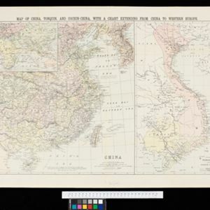
Map of China, Tonquin and Cochin-China, with a chart extending from China to western Europe

event1883

location_onCambodia, Laos, Thailand, Vietnam

Two maps, one of which features mainland Southeast Asia: Anam (Tonquin and Cochin China) in red, Lower Cochin China in green, Cambodia in yellow, and Siam in white. An inset map shows maritime routes between Europe and Asia.

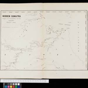
Midden-Sumatra: Reizen en onderzoekingen der Sumatra-expeditie... 1877-1879

event1882

location_onIndonesia

An Atlas produced by an expedition in central Sumatra, including: maps of topography, geology, a number of rivers in the region; drawings of mountains, graphs of lengths of roads; family trees of the royal families of Djambi (Jambi) and Palembang.

Map of the Malay Peninsula 1879

event1879

location_onMalaysia, Singapore, Thailand

Six-sheet map of the Malay Peninsula, featuring settlements, mountains and rivers. Labels note names of indigenous peoples, or describe terrain/resources. There is an inset map of Singapore town, and the Straits Settlements are highlighted in red.

Asiatic archipelago

event1876

location_onVietnam, Myanmar, Papua New Guinea, Philippines, Singapore, Southeast Asia, Thailand, Malaysia, Laos, Indonesia, East Timor, Cambodia, Brunei

This late 19th century map of Southeast Asia shows the best maritime routes around the region, according to the time of year. There are also inset maps highlighting the rivers and southern islands of Singapore, and the sea depth around Labuan Island.

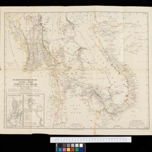
Der Indochinesischen Reiche: Birma, Siam, Kambodja und Annam

event1867

location_onCambodia, Laos, Malaysia, Myanmar, Thailand, Vietnam

The route between Saigon and Rangoon taken by the German ethnologist Adolf Bastian is marked on this map of mainland Southeast Asia. There are two inset maps of cites: Mandalay, Amarapura and Ava in Burma; and Bangkok in Siam (including 14 temples).

Chart of the China Sea

event1864

location_onPapua New Guinea, Indonesia, Malaysia, Cambodia, East Timor, Philippines, Singapore, Thailand, Vietnam

To aid navigation, this map shows small islands, shoals and reefs, maritime routes for use during monsoons or at particular times of the year, bathymetry (sea depth), tide information, shipwrecks, compass roses and landmark mountains at the coasts.

close

  • Filter from 1720 to 1900

Current results range from 1720 to 1900