Search

Search Results

Atlas van Nederlandsch Oost-Indië

eventc.1897-1904

location_onIndonesia

Very detailed atlas of the entire Dutch East Indies, over 16 map sheets, with a cover and overview map. Includes topographic maps, inset maps of cities and islands, and maps featuring land and sea routes, languages, geology, colonial territory etc.

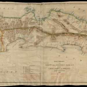
Schetskaart van West-Seran (Vulgo Ceram) / Schetskaart van Oost- en Midden Seran

event1896

location_onIndonesia

Map of the island of Seram in the Maluku Islands, originally produced as two separate maps. Red lines show lines of communication of local people (referred to as ‘Alfoer’), with their tribe’s name. Muslim, Christian and Alfoer settlements are marked.

Moluksche archipel: Baai van Amboina

event1895

location_onIndonesia

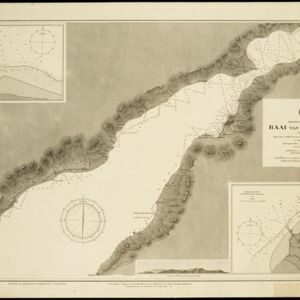
A map to aid navigation in Ambon Bay, on the island of Ambon in the Maluku Islands: bathymetry (sea depth) and mountains are shown along the coasts, with inset maps of a coal mine pier and Fort Victoria. A second map updates the coal mine pier map.

Kei- of Ewaf-eilanden

event1895

location_onIndonesia

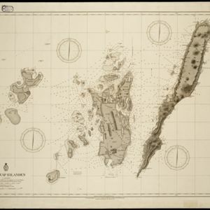
Map of the Kai Islands, in the Banda Sea, designed for navigation: it features bathymetry (sea depth), tide data (arrows), reefs and shoals. Obstructions in the water are marked ‘kr’ (coral), ‘m’ (mud), ‘s’ (shells), ‘st’ (stones), and ‘z’ (sand).

Land- en zeekaart der Banda-eilanden

event1871

location_onIndonesia

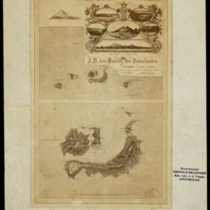
Two maps of the Banda Islands—one of the whole group; the other focusing on the larger islands only—with an elaborate cartouche illustrated with six views of the islands. There is also a drawing of the volcano on Goenong Api (Banda Api).

Ostindische Inseln

eventc.1870

location_onBrunei, Cambodia, East Timor, Indonesia, Laos, Malaysia, Myanmar, Philippines, Singapore, Southeast Asia, Thailand, Vietnam

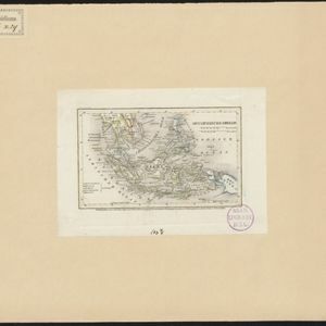
On this map of Southeast Asia, borders are outlined and cities underlined in different colours to show the colonial territories of the European powers. On Borneo, the names of indigenous peoples are listed (‘Dayak’s, Papua’s, Bugi’s’).

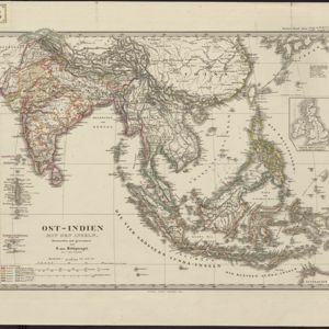
Ost-Indien mit den Inseln

event1857

location_onCambodia, Brunei, East Timor, Indonesia, Laos, Malaysia, Myanmar, Philippines, Singapore, Southeast Asia, Thailand, Vietnam

On this map of India and Southeast Asia, borders are outlined and cities underlined in different colours to show the colonial territories of the European powers. Independent states such as Birma, Siam and Annam are also marked.

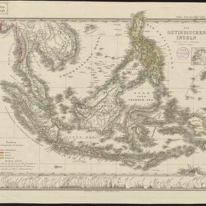
Die Ostindischen Inseln

event1846

location_onBrunei, Cambodia, East Timor, Indonesia, Laos, Malaysia, Myanmar, Philippines, Singapore, Southeast Asia, Thailand, Vietnam

Map of Southeast Asia highlighting the colonial possessions of the Netherlands (Dutch East Indies), Spain (Philippines), Britain (Straits Settlements, Burma, part of Borneo) and Portugal (East Timor). From the German atlas ‘Stielers Handatlas’.

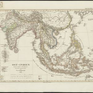
Ost-Indien mit den Inseln

event1850

location_onBrunei, Cambodia, East Timor, Indonesia, Laos, Malaysia, Myanmar, Singapore, Philippines, Southeast Asia, Thailand, Vietnam

On this map of India and Southeast Asia, borders are outlined and cities underlined in different colours to show the colonial territories of the European powers: British, Dutch, Spanish, Portuguese, French and Danish.

close

  • Filter from 1793 to 1897

Current results range from 1793 to 1897