Search
Refine your results
- Filter from 1897 to 1899
Current results range from 1897 to 1899
Location
- check_box_outline_blankDutch East Indies2
- check_box[remove]Sumatra2
- check_box_outline_blankBangka1
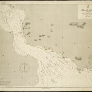
- check_box_outline_blankBangka Strait1
- check_box_outline_blankBanka1
- check_box_outline_blankMalaka1
- check_box_outline_blankStraat Banka1
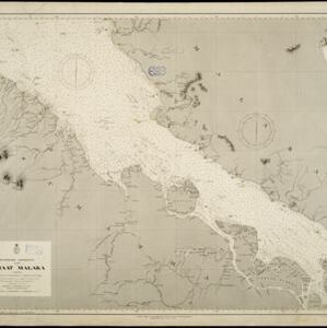
- check_box_outline_blankStraat Malaka1
- check_box_outline_blankStrait of Malacca1
Land Use
Land and Sea Routes
Environmental Features
- check_box[remove]Mountain/Volcano2


