Search Results

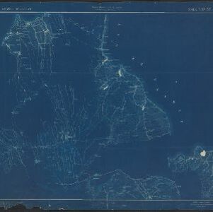
Map of the Island of Singapore and its dependencies
1898
Singapore
Map of Singapore Island, divided into Districts, including the surrounding islands and straits. The city centre, roads and forests are marked. MacRitchie Reservoir is at the centre of the island, with coconut plantations along the east coast.
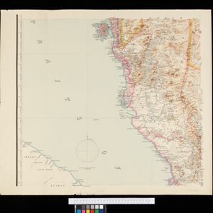
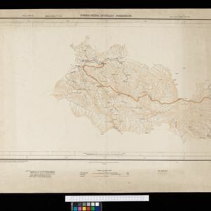
A map of the Malay Peninsula
1898
Malaysia, Singapore, Thailand
Map of the Malay Peninsula showcasing the Straits Settlements in pink, the Federated Malay States in red, and Siamese states in yellow. A table of common words in English, Malay and Siamese is included. Only four of six sheets are available.
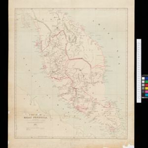
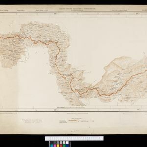
A Map of the Malay Peninsula
1897
Indonesia, Malaysia, Singapore, Thailand
On this late 19th century map of the Malay Peninsula, the British colonial territories—the Straits Settlements of Singapore, Malacca, Dinding and Penang—are in red, demarcating them from the British protectorate states of the rest of the peninsula.
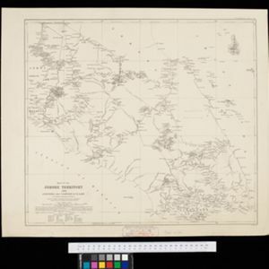
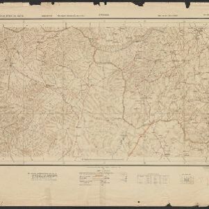
Map of the Johore Territory 1893
1894
Malaysia, Singapore
Map of the Malay state of Johor, and Singapore. The route of a proposed railway north from Johor Bahru is shown. Apart from rivers and mountains, much of the terrain is blank, with labels such as ‘Unexplored Hill Country’ or ‘Dense Jungle and Swamp’.
- Filter from 1853 to 1900
- Survey of India Offices, Calcutta8
- Edward Stanford3
- Stanford's Geographical Establishment3
- Surveyor General's Office, Calcutta3
- Intelligence Division, War Office2
- Julius Bien & Co.2
- War Department, Adjutant General's Office, Military Information Division2
- Colonial Engineer's Office1
- more Printer/Publisher »


