Search

Search Results

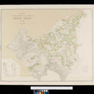
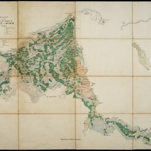
Kaart van het terrein des oorlogs in Groot-Atjeh

event1883

location_onIndonesia

The Aceh War (1873–1904) between the Sultanate of Aceh and Dutch colonists is highlighted on this map of Groot-Atjeh in 1876. Flag symbols mark the locations of Dutch military posts, and some villages are described as ‘verbrande [burnt]’.

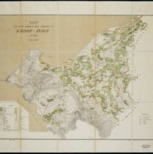
Kaart van het terrein des oorlogs in Groot-Atjeh in 1876

event1883

location_onIndonesia

The Aceh War (1873–1904) between the Sultanate of Aceh and Dutch colonists is highlighted on this map of Groot-Atjeh in 1876. Flag symbols mark the locations of Dutch troops, while a red line records the route marched by ‘agitating troops’ in 1875-6.

Kaart van het terrein des Oorlogs in Groot-Atjeh in 1876

event1883

location_onIndonesia

The Aceh War (1873–1904) between the Sultanate of Aceh and Dutch colonists is highlighted on this map of Groot-Atjeh in 1876. Flag symbols mark the locations of Dutch troops, while a red line records the route marched by ‘agitating troops’ in 1875-6.

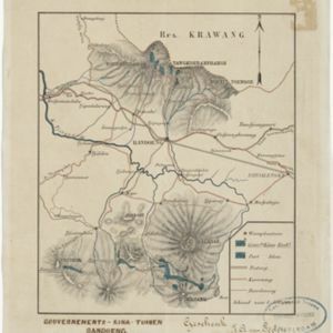
Gouvernements-kina-tuinen, Bandoeng, Java

event1881

location_onIndonesia

This map of Bandung, Java, highlights areas used to cultivate the plant Cinchona (‘Kina’). Its bark produces quinine which was used to treat malaria. A railway line, postal routes, cart roads and bridleways are also shown.

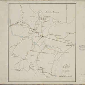
[Kina plantages rond Bandoeng]

event1881

location_onIndonesia

This map of Bandung, Java, highlights areas used to cultivate the plant Cinchona (‘Kina’). Its bark produces quinine which was used to treat malaria. A railway line, postal routes, cart roads and bridleways are also shown.

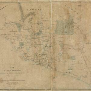
Map of the Malacca territory

event1878

location_onMalaysia

A late 19th century map of the town of Malacca and its surrounding area, including jungles, forests, mountains, rivers, roads, villages, tapioca estates and factories, and police stations. There is even a leper hospital on an island off the coast.

Topographische kaart der residentie Krawang

event1877

location_onIndonesia

The residency of Krawang (Karawang), West Java, featuring plantations (coffee, coconut, cinnamon, nutmeg, sugar); crops (rice, alang-alang, bamboo); post offices, routes (road, postal, canals), administrative borders; mountains, rivers, forests.

Java en Madoera

event1875

location_onIndonesia

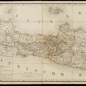
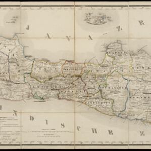
This detailed late 19th century map shows Java and Madura divided into regencies, and features mountains, roads, railways, and rivers.

Java en Madoera

event1873

location_onIndonesia

This detailed late 19th century map shows Java and Madura divided into regencies, and features mountains, roads, railways, and rivers.

Geognostisch-mijnbouwkundige kaart van het eiland Bangka, distrikt Blinjoe

event1872

location_onIndonesia

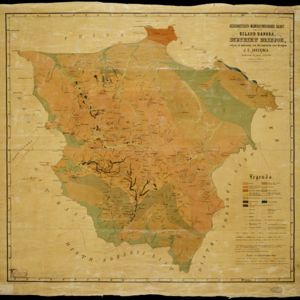
A geological map showing the types of rock and minerals found in Blinjoe district on the island of Bangka, off the east coast of Sumatra. Deposits of iron, quartz and tin are marked, and coral is shown at the coast.

Topographische kaart der residentie Semarang

eventc.1869-1871

location_onIndonesia

The residency of Semarang, Central Java, featuring crops (coffee, rice, bamboo, nipa palm); warehouses, cemeteries, post offices; routes, administrative borders; mountains, rivers, forests. An inset map shows updated details of the Kendal district.

Topographische kaart der residentie Djokjakarta

event1870

location_onIndonesia

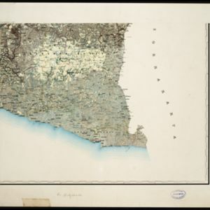
The residency of Djokjakarta (Yogyakarta), southern Java, featuring crops (coffee, sugar, rice, alang-alang, tobacco, indigo plants, nipa palm, bamboo); warehouses, cemeteries, post offices; routes, administrative borders; mountains, rivers.

close