Search

Search Results

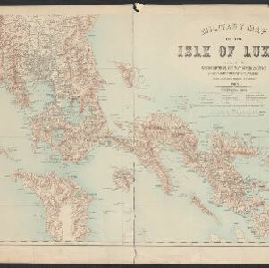
Military map of the Isle of Luzon

event1900

location_onPhilippines

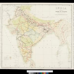
India to illustrate the gauges of railways

event1899

location_onMyanmar

A map of British North Borneo

event1899

location_onMalaysia, Brunei, Indonesia

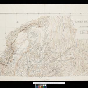
Upper Burma

event1899

location_onMyanmar, Thailand

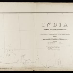
India shewing railways with stations

event1899

location_onMyanmar

Military map of the Isle of Luzon

event1898

location_onPhilippines

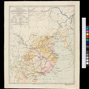
Sketch map of China and adjoining regions: showing the density of population, mineral resources, chief products, principal trade routes, existing and projected railways, and inland navigation

event1898

location_onMyanmar, Thailand, Vietnam

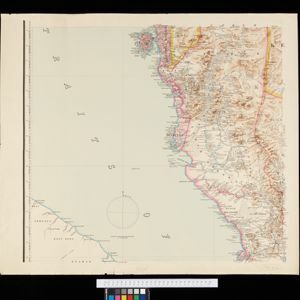
Map of the Island of Singapore and its dependencies

event1898

location_onSingapore

A map of the Malay Peninsula

event1898

location_onMalaysia, Singapore, Thailand

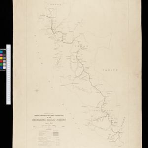
Sketch map shewing progress of railway construction in the Federated Malay States

event1898

location_onMalaysia

Burma and adjacent countries: With additions and corrections to boundaries and railways up to December, 1898

event1898

location_onMyanmar, Thailand

Burma with parts of India, China and Siam

event1888

location_onMyanmar, Laos, Thailand

close