Search Results
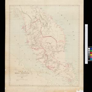
A map of the Malay Peninsula
1898
Malaysia, Singapore, Thailand
Map of the Malay Peninsula showcasing the Straits Settlements in pink, the Federated Malay States in red, and Siamese states in yellow. A table of common words in English, Malay and Siamese is included. Only four of six sheets are available.

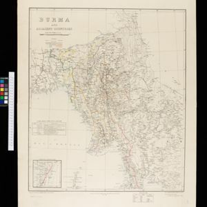
Burma and adjacent countries: With additions and corrections to boundaries and railways up to December, 1898
1898
Myanmar, Thailand
The regional and national borders of Burma and Siam are hand-coloured on this map. Provinces, districts and states within Burma are also highlighted, and itemised in a separate list.
A Map of the Malay Peninsula
1897
Indonesia, Malaysia, Singapore, Thailand
On this late 19th century map of the Malay Peninsula, the British colonial territories—the Straits Settlements of Singapore, Malacca, Dinding and Penang—are in red, demarcating them from the British protectorate states of the rest of the peninsula.

Route chart to India and the East
1895
Brunei, Cambodia, East Timor, Indonesia, Laos, Malaysia, Myanmar, Philippines, Singapore, Southeast Asia, Thailand, Vietnam
Map of Asia featuring steamship routes—including around Southeast Asia—connecting ports such as Penang, Singapore, Batavia (Jakarta), Saigon, Bangkok, Rangun (Yangon), Manila, Macassar (Makassar) etc. There is also an inset map of Singapore.
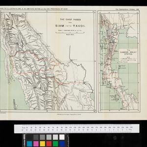
The chief passes from Siam into Tavoi / The Siamese Malay States
1895
Myanmar, Thailand, Malaysia
Two maps of Siam (Thailand). The larger map shows routes through mountain passes from Siam to the city of Tavoi (Dawei, on the west coast of Myanmar). The smaller map is marked with trade routes around Lower Siam (Southern Thailand).
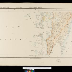
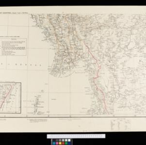
South eastern frontier
c.1890-1906
Myanmar, Thailand
Very detailed large-scale map of the southeast border of Burma (Myanmar) and Siam (Thailand), divided into districts. Spread over multiple sheets, seems incomplete (some sheets appear more than once, probably from different versions of the same map).

Algemeene kaart van Nederlandsch Indië
1879
Cambodia, Indonesia, Papua New Guinea, East Timor, Southeast Asia, Thailand, Malaysia, Philippines, Laos, Vietnam, Singapore, Brunei, Myanmar
A late 19th century map of the Dutch East Indies on four sheets, detailing maritime routes around the region. There are also inset maps showing railways, rivers, roads, and telegraph systems, as well as individual islands and cities.

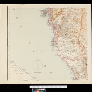
Map of the Malay Peninsula 1879
1879
Malaysia, Singapore, Thailand
Six-sheet map of the Malay Peninsula, featuring settlements, mountains and rivers. Labels note names of indigenous peoples, or describe terrain/resources. There is an inset map of Singapore town, and the Straits Settlements are highlighted in red.


