Search

Search Results

Kaart der residentie Zuider- en Ooster-afdeeling van Borneo

event1899

location_onIndonesia

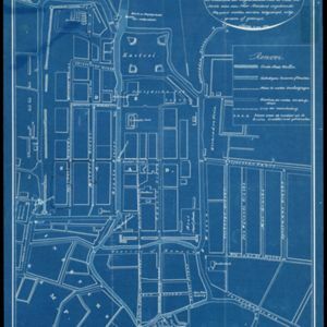
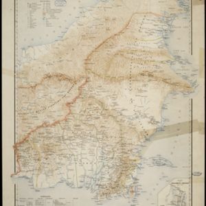
On this map, the residency of South and East Borneo is divided into departments (green borders) and provinces (yellow borders). There is an inset plan of the city of Banjarmasin, with rivers, buildings, residential areas, roads and crops marked.

Kaart van het eiland Borneo

event1899

location_onBrunei, Indonesia, Malaysia

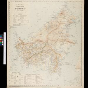
This map of Borneo is divided between two residencies of the Dutch East Indies (Residentie Westerafdeeling van Borneo and Residentie Zuider en Oosterafdeeling van Borneo), and the British protectorates of Sarawak and British North Borneo.

Sumatra

eventc.1899-1902

location_onIndonesia

Eight sheets from a large-scale detailed topographic map of Sumatra (many other sheets are missing). Includes crops (rice, coconut, coffee, banana, sugar, gambier, cinnamon, bamboo, alang-alang, arenga palm), routes (railways, roads), settlements.

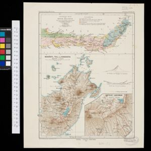
Geologische skizze von Nord-Celebes

event1899

location_onIndonesia

Geological map of the Minahasa Peninsula, Celebes (Sulawesi) showing rock types. Two more topographical maps show the terrain of the northeast tip of the peninsula, with elevation views including of the volcano Mount Klabat.

Indo-Chine: carte de la mission Pavie

event1899

location_onCambodia, Laos, Myanmar, Thailand, Vietnam

Spread over four sheets, this topographical map was based on the explorations of the French civil servant Auguste Pavie. Lasting 16 years (1879–1895), his ‘Missions Pavie’ explored all of mainland Southeast Asia.

Manila, sus arrabales

event1898

location_onPhilippines

A late 19th century plan of the city of Manila, Philippines, showing the streets and buildings—categorised as military, civil or religious—around the Pasig River. The city is surrounded by suburbs, fields and wetlands.

Kaart van het gebied bezet in Groot-Atjèh

event1898

location_onIndonesia

A six-sheet map of Groot-Atjèh (Aceh, northern Sumatra) focusing on areas occupied during the Aceh War (1873–1904) between the Sultanate of Aceh and Dutch colonists. It shows military positions and fortifications, buildings, routes and crops.

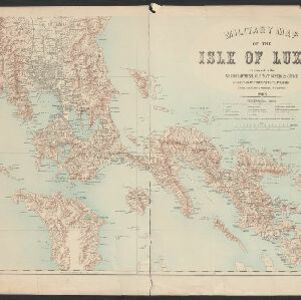
Military map of the Isle of Luzon

event1898

location_onPhilippines

A map of southern Luzon, Philippines divided into military and civilian regions. Made for the American military just before the Philippine–American War (1899–1902), it features settlements, roads, railways, telegraph stations, mountains and rivers.

Noordkust Java: Westervaarwater van Soerabaja

event1898

location_onIndonesia

This map of the Madura Strait between Java and Madura is designed to aid navigation: bathymetry (water depth), lighthouses, shoals and reefs, rocks and mud, anchor points, and landmark mountains are all marked. Text describes the tidal conditions.

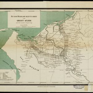
Het door Nederland bezette gebied van Groot-Atjeh met de naaste omgeving

event1899

location_onIndonesia

Map focusing on Kota Radja (city of Banda Aceh, Sumatra) during the Aceh War (1873–1904) fought between the Sultanate of Aceh and Dutch colonists. Dutch forts are shown in a zone around the city, and villages are marked in the surrounding country.

Westkust Celebes: Vaarwaters benoorden Makasser: Blad II

event1898

location_onIndonesia

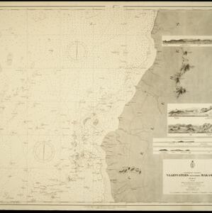
Navigation map of the west coast of Celebes (Sulawesi), north of Makassar. Bathymetry (sea depth), shoals and other obstructions are marked, with hills and settlements as landmarks, and elevations (side views of hills) to aid navigation.

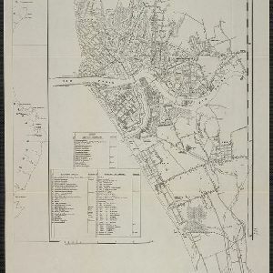
Schetze van de stad Batavia, voorsteden en Chineesche kamp, dienende ter aanwijzing der rivieren en grachten... moeten worden uitgediept, uitgegraven of gedempt

event1898

location_onIndonesia

Plan of the city of Batavia (Jakarta) and its suburbs. Based on a report on health conditions in the city, it shows where the rivers and canals need to be deepened, excavated or filled in.

close