Search

Search Results

Indo-Chine: carte de la mission Pavie

event1899

location_onCambodia, Laos, Myanmar, Thailand, Vietnam

Spread over four sheets, this topographical map was based on the explorations of the French civil servant Auguste Pavie. Lasting 16 years (1879–1895), his ‘Missions Pavie’ explored all of mainland Southeast Asia.

Plan topographique de l'arrondissement de Soc Trang

event1889

location_onVietnam

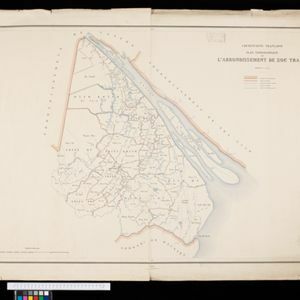
Map of the province of Soc Trang (Sóc Trăng, Vietnam) on the bank of the Bassac River, southern Vietnam. The city of Soc Trang is in the centre, surrounded by rivers, roads, fields and villages.

Plan topographique de l'arrondissement de Tan An

event1888

location_onVietnam

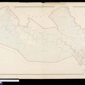
Map of the district of Tan An (Tân An in the Mekong Delta, Vietnam) dominated by the two branches of the Vàm Cỏ River. The city of Tan An is in the centre of the more populated southern part of the district.

Plan topographique de l'arrondissement de Tra Vinh

event1888

location_onVietnam

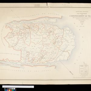
Map of the province of Tra Vinh (Trà Vinh in the Mekong Delta, Vietnam) situated between the mouths of the Sông Cổ Chiên and Bassac rivers. The city of Tra Vinh is towards the north, surrounded by fields, villages, rivers and roads.

Plan topographique de l'arrondissment de Longxuyen

event1886

location_onVietnam

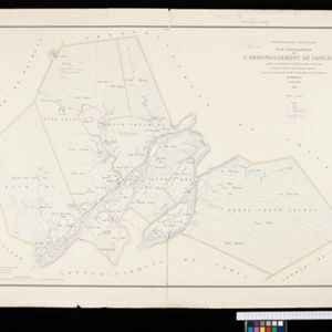
Map of the district of Longxuyen (Long Xuyên in the Mekong Delta, Vietnam). The city of Long Xuyên is on the southern bank of the Bassac River (labelled ‘Fleuve Postérieur’ and ‘Fleuve Antérieur’), surrounded by rivers, wetlands, fields and villages.

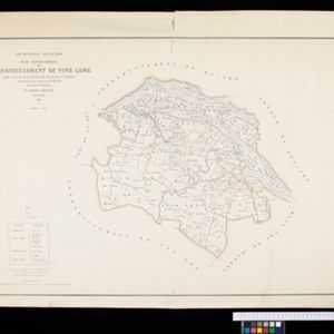
Plan topographique de l'arrondissement de Vinh Long

event1885

location_onVietnam

Map of the province of Vinh Long (Vĩnh Long in the Mekong Delta, Vietnam) on the southern bank of the Cổ Chiên River. The city of Vinh Long is on the river, surrounded by rivers, roads, fields and villages.

Carte du Grand Archipel d'Asie (Partie Nord-ouest de l'Océanie)

event1826

location_onSoutheast Asia, Malaysia, Indonesia, Vietnam

Colonial possessions of the Dutch, Spanish and Portuguese, as well as lands of ‘indigenous princes’ are marked with coloured borders on this map of maritime Southeast Asia. Hot springs and mineral water springs in Java are also listed.

close

  • Filter from 1826 to 1899

Current results range from 1826 to 1899