Search

Search Results

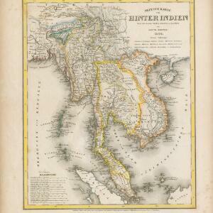
Neueste Karte von Hinter Indien

event1860

location_onCambodia, Laos, Malaysia, Myanmar, Singapore, Thailand, Vietnam

The borders on this mid-19th century map of mainland Southeast Asia are colour-coded to show kingdoms, countries and colonial territories. Twelve different scales are shown, as different countries used different measurement systems.

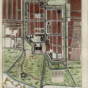
Grundris der stadt und citadelle Batavia

event1785

location_onIndonesia

A plan of the port of Batavia with a detailed legend identifying parts of the city. The sword and laurel wreath of the city’s coat of arms, and the Dutch East India Company flag (marked ‘VOC’ or ‘Vereenigde Oost Indische Compagnie’) are also shown.

Der Hollaendisch-Ostindianischen Compagnie weltberühmte Haupt-Handels und Niederlags: Stadt Batavia

event1747

location_onIndonesia

The legend and written notes on this plan of Batavia (Jakarta) provide much detailed information about the important port city in the early 18th century. It is also beautifully decorated with paintings of the city, local people, animals and ships.

close

  • Filter from 1747 to 1860

Current results range from 1747 to 1860