Search

Search Results

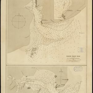
Vaarwaters en ankerplaatsen op de oostkust van Borneo: Blad III

event1899

location_onIndonesia

Navigation maps of two bays on the southeast coast of Borneo. Anchorages, bathymetry (sea depth), buoys, shoals and other obstructions are shown. There is an inset map of the roadstead—a body of water sheltered from tides/currents—at Balikpapan Bay.

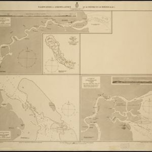
Vaarwaters en ankerplaatsen op de Oostkust van Borneo: Blad I

event1896

location_onIndonesia

Four navigation maps of waterways on the northeast coast of Borneo, including the Karang Muaras reef. Anchorages, bathymetry (sea depth), shoals and other obstructions are shown, with trees, hills and elevations (side views of hills) as landmarks.

Kaart van Nederlandsch-Indie

event1893

location_onBrunei, Cambodia, Indonesia, Malaysia, Singapore, Thailand, Vietnam, East Timor, Philippines, Southeast Asia

Shipping routes are the focus of this map of the Dutch East Indies, indicated by red lines labelled with the name of the shipping company and the destinations. Parcel shipping routes are also shown. Inset maps feature railway lines too.

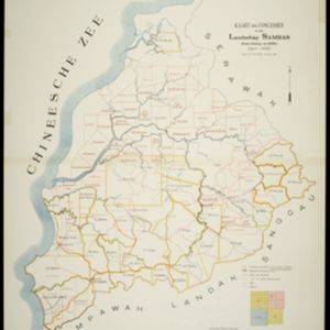
Kaart der Concessiën in het Landschap Sambas (Wester-Afdeeling van Borneo)

event1890

location_onIndonesia

Map of the Sambas Regency on the west coast of Borneo, divided into parcels of land which are labelled with the names of businesses that have been issued with concessions: yellow borders denote agricultural concessions; red are mining concessions.

Kaart van den Nederlandsch-Indischen Archipel

event1890

location_onIndonesia, East Timor, Brunei, Cambodia, Malaysia, Philippines, Singapore, Southeast Asia, Thailand, Vietnam

The seas of the Dutch East Indies are the focus of this map, with maritime routes, sea temperature, sea depth, currents and monsoons shown. There are graphs of population by ethnicity, agriculture and livestock, trade and shipping, and trade exports.

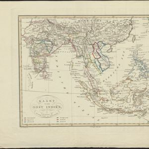
Kaart van Oost Indiën: behoorende bij Olivier Land- en zeetogten

event1830

location_onBrunei, Cambodia, East Timor, Indonesia, Laos, Malaysia, Myanmar, Philippines, Singapore, Southeast Asia, Thailand, Vietnam

Map from Johannes Olivier’s book ‘Land- en Zeetogten in Nederland's Indie [Land and Sea Journeys in the Dutch Indies]’, showing European colonial possessions and indigenous kingdoms in Asia.

close

  • Filter from 1830 to 1899

Current results range from 1830 to 1899