Search

Search Results

Stanford's Library Map of Asia

event1899

location_onBrunei, Cambodia, East Timor, Indonesia, Laos, Malaysia, Myanmar, Philippines, Singapore, Southeast Asia, Thailand, Vietnam

Southeast Asia is on sheet four of this map. British colonial territory—British Burma, the Straits Settlements, Sarawak, Brunei, British North Borneo—is highlighted in red, with Dutch, Spanish, French and Portuguese territory also shown.

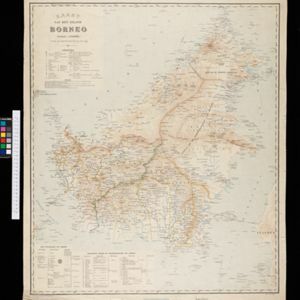
Kaart van het eiland Borneo

event1899

location_onMalaysia, Indonesia, Brunei

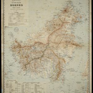
This map of Borneo is divided between two residencies of the Dutch East Indies (Residentie Westerafdeeling van Borneo and Residentie Zuider en Oosterafdeeling van Borneo), and the British protectorates of Sarawak and British North Borneo.

Kaart van het eiland Borneo

event1899

location_onBrunei, Indonesia, Malaysia

This map of Borneo is divided between two residencies of the Dutch East Indies (Residentie Westerafdeeling van Borneo and Residentie Zuider en Oosterafdeeling van Borneo), and the British protectorates of Sarawak and British North Borneo.

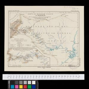
Karte des Mahakam-Flusses in Borneo: Nach den aufnahme der Niederländischen Expedition zur Durchquerung Borneo's, 1896-1897

event1898

location_onIndonesia, Malaysia

Map of the Mahakam River in Borneo, based on an expedition by the Dutch explorer Dr. Anton Nieuwenhuis in the late 19th century. An inset map shows the upper reaches of the river at twice the scale of the main map.

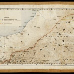
Atlas van Nederlandsch Oost-Indië

eventc.1897-1904

location_onIndonesia

Very detailed atlas of the entire Dutch East Indies, over 16 map sheets, with a cover and overview map. Includes topographic maps, inset maps of cities and islands, and maps featuring land and sea routes, languages, geology, colonial territory etc.

Route chart to India and the East

event1895

location_onBrunei, Cambodia, East Timor, Indonesia, Laos, Malaysia, Myanmar, Philippines, Singapore, Southeast Asia, Thailand, Vietnam

Map of Asia featuring steamship routes—including around Southeast Asia—connecting ports such as Penang, Singapore, Batavia (Jakarta), Saigon, Bangkok, Rangun (Yangon), Manila, Macassar (Makassar) etc. There is also an inset map of Singapore.

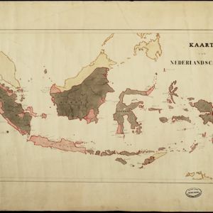
Kaart van Nederlandsch Indie

event1895

location_onIndonesia, Singapore, Brunei, Malaysia, East Timor, Philippines

This simple hand-drawn map of maritime Southeast Asia is coloured to highlight the areas under Dutch colonial rule.

Stanford's Library Map of Asia

event1891

location_onBrunei, Cambodia, East Timor, Indonesia, Laos, Malaysia, Myanmar, Philippines, Singapore, Southeast Asia, Thailand, Vietnam

Southeast Asia is on sheet four of this map. British colonial territory—British Burma, the Straits Settlements, Sarawak, British North Borneo—is highlighted in red, with the Dutch East Indies, Spanish Philippines and Portuguese East Timor also shown.

Kaart van een gedeelte van Borneo: met aanwijzing van de grens tusschen het Nederlandsch gebied en dat van het Britsche Protectoraat

event1891

location_onIndonesia, Malaysia, Myanmar

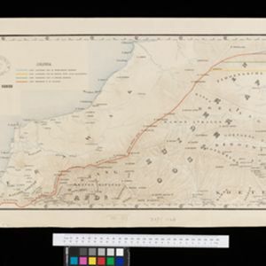
Map marking the border (in orange) agreed between British and Dutch territory on Borneo in 1891. Alternative borders are shown: according to the Dutch (blue), according to the British North Borneo Society (yellow) and proposed by the British (green).

Kaart van een gedeelte van Borneo: met aanwijzing van de grens tusschen het Nederlandsch gebied en dat van het Britsche Protectoraat

event1891

location_onIndonesia, Malaysia

Map marking the border (in orange) agreed between British and Dutch territory on Borneo in 1891. Alternative borders are shown: according to the Dutch (blue), according to the British North Borneo Society (yellow) and proposed by the British (green).

Malay, or East Indian Archipelago, with Burmah, Siam &c.

event1887

location_onBrunei, Cambodia, East Timor, Indonesia, Laos, Malaysia, Myanmar, Philippines, Singapore, Southeast Asia, Thailand, Vietnam

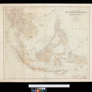
On this map of Southeast Asia, numerous small islands, shoals and reefs are marked and named, especially in the South China Sea and around the Sunda and Maluku islands. Submarine cables to carry telegraph messages around the region are also shown.

Reduzirte Karte von den Philippinen und den Sulu Inseln

event1884

location_onPhilippines, Malaysia, Indonesia

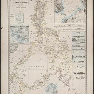
Maritime map of the Philippines, with inset maps of bays showing bathymetry (sea depth), shoals, reefs and anchor points. There is also an inset map of Taal Volcano, and elevations (side views of terrestrial landmarks like mountains and islands).

close