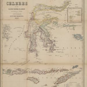
Kaart van de Golf van Tomini of Gorontalo en omliggende landen
1878
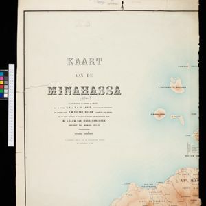
Indonesia
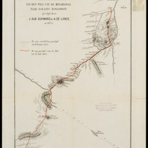
Map of the Minahasa and East peninsulas of Celebes (Sulawesi) focusing on the road system (shown by red lines). There are four inset maps, including one showing indigenous tribal areas, and a list of places with their latitude, longitude and height.