Search

Search Results

The principal islands of the East-Indies: explaining what belongs to England, Spain and Holland &c.

event1732

location_onBrunei, Cambodia, East Timor, Indonesia, Philippines, Malaysia, Thailand, Vietnam, Singapore, Southeast Asia

The letters ‘E’ or ‘D’ are marked after place names to indicate if they are English or Dutch colonial possessions: e.g. ‘Marleborough Fort E’ on Sumatra or ‘Concordia Fort D’ on Timor. The Philippines are labelled ‘to Spain’.

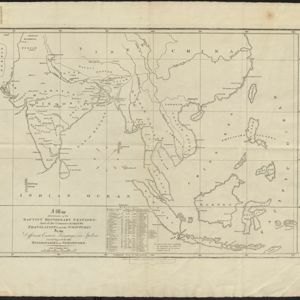
A Map Illustrative of the Baptist Missionary Stations

event1815

location_onBrunei, Cambodia, East Timor, Indonesia, Laos, Malaysia, Myanmar, Philippines, Singapore, Southeast Asia, Thailand, Vietnam

This map marks the locations of Baptist missionary stations in Asia, including at Ava, Rangoon, Java and Amboyna (Ambon) in Southeast Asia. The station at Java also has a school. The map’s legend lists the stations’ dates of foundation.

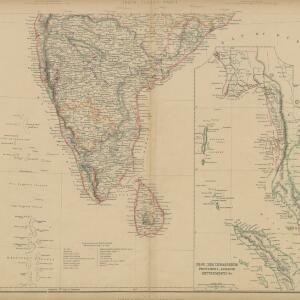
India (south part)

event1824

location_onMyanmar, Malaysia, Singapore, Thailand, Indonesia

The inset map on this map of India features part of mainland Southeast Asia: Pegu and the Tenasserim Provinces (Myanmar), Siam (Thailand), and the Malay Peninsula (Malaysia), with the Straits Settlements—Singapore, Malacca, Penang—highlighted in red.

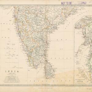
India (southern sheet)

event1824

location_onMyanmar, Malaysia, Indonesia, Singapore, Thailand

The inset map on this map of India features part of mainland Southeast Asia, with the British colonial territories—Straits Settlements, British Burma—highlighted in red, ‘protected states’ in yellow, and ‘independent states’ in green.

Eastern islands or Malay archipelago

event1836

location_onBrunei, Cambodia, East Timor, Indonesia, Laos, Malaysia, Myanmar, Philippines, Singapore, Southeast Asia, Vietnam, Thailand

Brief notes printed on this 19th century map of Southeast Asia provide details about each region, including: numbers and ethnicity of the population, local or colonial rulers, crops and products, geography (corals, forests, volcanos, earthquakes).

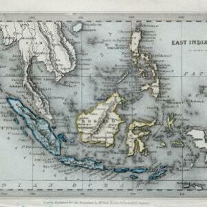
East India Islands

event1840

location_onVietnam, Myanmar, Papua New Guinea, Philippines, Singapore, Southeast Asia, Thailand, Malaysia, Laos, Indonesia, East Timor, Cambodia, Brunei

The colonial possessions of Britain (in red, though faded on this map), the Netherlands (green, but discoloured to blue) and Spain (the Philippines, brown) are shown on this map, with independent areas such as Borneo and the Maluku Islands in yellow.

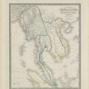
Map of the Burman Empire including also Siam, Cochin-China, Ton-king and Malaya

event1842

location_onVietnam, Myanmar, Malaysia, Indonesia, Thailand, Laos, Cambodia, Brunei, Singapore

Regional borders are colour-coded on this mid-19th century map of mainland Southeast Asia, with British colonial territory in red (including part of the Burman Empire, the Straits Settlements, and Sarawak on Borneo).

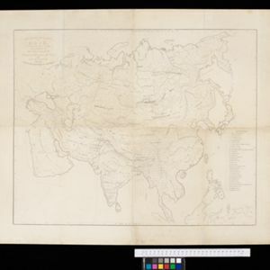
Ethnographical Map of Asia in the earliest times, illustrative of Dr. Prichard's Natural History of Man

event1843

location_onBrunei, Cambodia, Indonesia, Laos, Malaysia, Myanmar, Philippines, Singapore, Thailand, Vietnam, Southeast Asia

Based on the British ethnologist James Cowles Prichard’s book ‘Natural History of Man’, this map shows the location of ethnicities in Asia. In Southeast Asia, the races are listed as ‘Arakan’, ‘Pegu’, ‘Thay or Siamese’, ‘Anam’ and ‘Pelagian’.

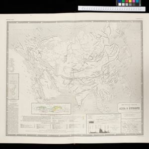
Mountain chains in Asia & Europe

event1849

location_onCambodia, Indonesia, Laos, Malaysia, Myanmar, Philippines, Singapore, Thailand, Vietnam

Mountain chains are represented by black lines; volcanoes by black dots. Three insets maps: expansion of Reguain—island of Taung-ywa, off the coast of Myanmar—due to volcanic activity; geology of Java (with heights of mountains); volcanoes of Luzon.

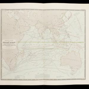
Physical chart of the Indian Ocean: shewing the temperature of the water, the currents of the air and ocean, directions of the wind, districts of hurricanes, regions of the monsoons & ty-foons, trade routes &c&c.

event1849

location_onBrunei, Cambodia, East Timor, Indonesia, Laos, Malaysia, Myanmar, Papua New Guinea, Philippines, Singapore, Southeast Asia, Thailand, Vietnam

Chart of the Indian Ocean, showing climate and weather-related data, including around the seas and straits of Southeast Asia where trade routes are marked, along with monsoon and typhoon regions, and currents during the different monsoon seasons.

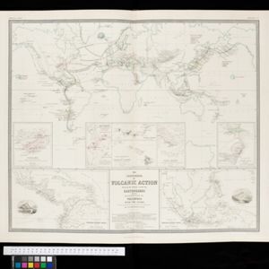
The phenomena of volcanic action: showing the regions visited by earthquakes and the distribution of volcanoes over the globe

event1849

location_onBrunei, Cambodia, East Timor, Indonesia, Laos, Malaysia, Myanmar, Papua New Guinea, Philippines, Singapore, Southeast Asia, Thailand, Vietnam

On the main map, the volcanic regions of Southeast Asia are labelled, active and extinct volcanos are marked, and the 1815 eruption of Tumbora (Mount Tambora on Sumbawa) is highlighted. Even more details are shown on an inset map of Southeast Asia.

close

  • Filter from 1732 to 1899

Current results range from 1732 to 1899