Search

Search Results

A Map Illustrative of the Baptist Missionary Stations

event1815

location_onBrunei, Cambodia, East Timor, Indonesia, Laos, Malaysia, Myanmar, Philippines, Singapore, Southeast Asia, Thailand, Vietnam

This map marks the locations of Baptist missionary stations in Asia, including at Ava, Rangoon, Java and Amboyna (Ambon) in Southeast Asia. The station at Java also has a school. The map’s legend lists the stations’ dates of foundation.

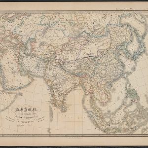
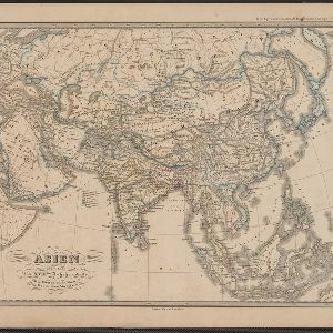
Asien am Ausgange des XVIIten Jahrhunderts

eventc.1800-1899

location_onBrunei, Cambodia, East Timor, Indonesia, Laos, Malaysia, Myanmar, Philippines, Singapore, Southeast Asia, Thailand, Vietnam

This map of Asia, from an atlas by the German cartographer Karl von Spruner, is colour-coded to show the colonial possessions of the European powers—Netherlands, Portugal, Spain, France, Britain and Denmark—at the end of the 17th century.

Asien gegen Ende des XVIIIten Jahrhunderts

eventc.1800-1899

location_onBrunei, Cambodia, East Timor, Indonesia, Laos, Malaysia, Myanmar, Philippines, Singapore, Southeast Asia, Thailand, Vietnam

This map of Asia, from an atlas by the German cartographer Karl von Spruner, is colour-coded to show the possessions of the Indian Maratha Empire, and of the European colonial powers at the end of the 18th century.

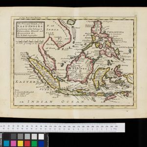
The principal islands of the East-Indies: explaining what belongs to England, Spain and Holland &c.

eventc.1732

location_onBrunei, Cambodia, East Timor, Indonesia, Philippines, Malaysia, Thailand, Vietnam, Singapore, Southeast Asia

The letters ‘E’ or ‘D’ are marked after place names to indicate if they are English or Dutch colonial possessions: e.g. ‘Marleborough Fort E’ on Sumatra or ‘Concordia Fort D’ on Timor. The Philippines are labelled ‘to Spain’.

The principal islands of the East-Indies: explaining what belongs to England, Spain and Holland &c.

event1732

location_onBrunei, Cambodia, East Timor, Indonesia, Philippines, Malaysia, Thailand, Vietnam, Singapore, Southeast Asia

The letters ‘E’ or ‘D’ are marked after place names to indicate if they are English or Dutch colonial possessions: e.g. ‘Marleborough Fort E’ on Sumatra or ‘Concordia Fort D’ on Timor. The Philippines are labelled ‘to Spain’.

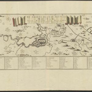
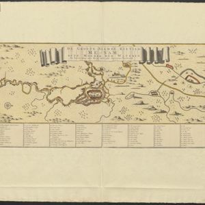
De Groote Siamse Rievier Me-Nam, ofte Moeder der Wateren: In haren loop met de in vallende Spruyten Verbeeld

event1726

location_onThailand

Map of the Me-nam River (Chao Phraya River) with the city of Ayutthaya (labelled ‘Siri India’) in the centre. Its mouth at the Gulf of Thailand is to the left. Over 100 buildings, towns and other places are shown pictorially and listed in the legend.

close