location_onMalaysia, Indonesia, Singapore, Myanmar
Kaart van de residentie Banka
event1896
location_onIndonesia
Map of the Johore Territory 1893
event1894
location_onMalaysia, Singapore
Kaart van Nederlandsch-Indie
event1893
location_onBrunei, Cambodia, Indonesia, Malaysia, Singapore, Thailand, Vietnam, East Timor, Philippines, Southeast Asia
Map of Johore Territory 1893
event1893
location_onMalaysia, Singapore
Kaart van den Nederlandsch-Indischen Archipel
event1890
location_onIndonesia, East Timor, Brunei, Cambodia, Malaysia, Philippines, Singapore, Southeast Asia, Thailand, Vietnam
A sketch map of the East Indian possessions of the Netherlands
event1886
location_onBrunei, Indonesia, Malaysia, Papua New Guinea, Philippines, Singapore
Reduzirte Karte von den Philippinen und den Sulu Inseln
event1884
location_onPhilippines, Malaysia, Indonesia
Nederlandsch Oost-Indië
event1865
location_onBrunei, Cambodia, East Timor, Indonesia, Laos, Malaysia, Myanmar, Vietnam, Thailand, Southeast Asia, Singapore, Philippines, Papua New Guinea
Algemeene Kaart van Nederlandsch Oostindie
event1842
location_onEast Timor, Indonesia, Malaysia, Singapore
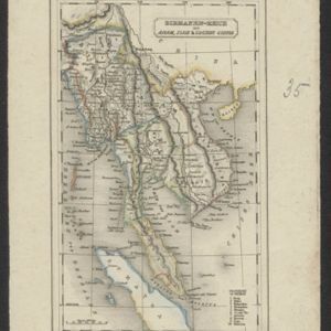
Birmanen Reich mit Anam, Siam & Cochin China
eventc.1840
location_onCambodia, Indonesia, Laos, Malaysia, Myanmar, Singapore, Thailand, Vietnam