Search

Search Results

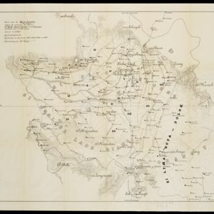
Kaart van het Westelijk gedeelte bezet in Groot-Atjèh

event1895

location_onIndonesia

This map of Groot-Atjèh (Aceh, northern Sumatra) focuses on the western part occupied during the Aceh War. It shows mountains, wetlands, forests, villages, routes and crops (rice, coconut, banana, sugar, sugarcane, bamboo, alang-alang, betel).

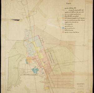
Wegennet der gemeente Medan

event1895

location_onIndonesia

This map of the town of Medan, north Sumatra, is colour-coded to show land use, reflecting the details of a land lease contract, and including a military camp, Sultan’s palace and land, and residential, agricultural, municipal and government areas.

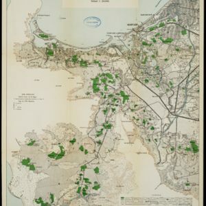
Hoofdplaats-Medan

event1895

location_onIndonesia

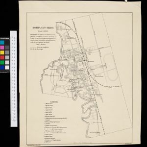
Map of the city of Medan on the north coast of Sumatra, featuring the Deli and Babura rivers and two railway lines. Other notable locations include a race track, military camp, Sultan’s palace (Maimun Palace), police station, offices, hospitals etc.

Kaart van Groot Atjeh

event1894

location_onIndonesia

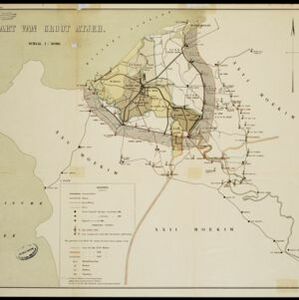
This map of Groot Atjeh (Aceh, northern Sumatra) focuses on Dutch military posts in and around the city of Kota Radja (Banda Aceh) during the Aceh War. It shows new permanent and temporary posts being added over the period 1884 to 1893.

Overzichtskaart van den ontworpen spoorweg Fort de Kock-Pajakombo

event1894

location_onIndonesia

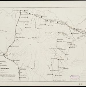
A map of railway lines between Fort de Kock (Bukittinggi) and Pajakombo (Payakumbuh) in western Sumatra. The map includes existing line, planned line and rack railway line (a line with a rack and pinion system so it can operate on steep slopes).

Trade Routes in the Far East

event1894

location_onBrunei, Cambodia, Indonesia, Laos, Malaysia, Myanmar, Philippines, Singapore, Thailand, Vietnam

Map of stream ship trade routes around Southeast Asia. Rivers, railways, submarine telegraph cables, lighthouses (fixed, revolving and flashing), graving docks and coaling stations are marked. An inset map shows a railway route from Britain to Asia.

Zuidelijk gedeelte van de Chineesche zee: Blad I

event1893

location_onMalaysia, Indonesia, Singapore

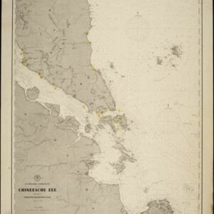
Navigation map of the southern part of the South China Sea, including the straits of Malacca and Singapore, and the Riau Archipelago. Bathymetry (sea depth), lighthouses, shoals and other obstructions are marked, with hills to use as landmarks.

Kaart van Nederlandsch-Indie

event1893

location_onBrunei, Cambodia, Indonesia, Malaysia, Singapore, Thailand, Vietnam, East Timor, Philippines, Southeast Asia

Shipping routes are the focus of this map of the Dutch East Indies, indicated by red lines labelled with the name of the shipping company and the destinations. Parcel shipping routes are also shown. Inset maps feature railway lines too.

Stanford's Library Map of Asia

event1891

location_onBrunei, Cambodia, East Timor, Indonesia, Laos, Malaysia, Myanmar, Philippines, Singapore, Southeast Asia, Thailand, Vietnam

Southeast Asia is on sheet four of this map. British colonial territory—British Burma, the Straits Settlements, Sarawak, British North Borneo—is highlighted in red, with the Dutch East Indies, Spanish Philippines and Portuguese East Timor also shown.

Kaart van den Indischen-Archipel, Aanwijzende de standplaatsen der Europeesche ambtenaren bij het Binnenlansch Bestuur

event1891

location_onIndonesia

This map of the Dutch East Indies uses colour to demarcate government administrative areas (residencies or provinces), with red dots/flags indicating the locations of various levels of government officials. With inset maps of west Sumatra and Java.

Kaart van de Karo landen (Oost Sumatra)

event1891

location_onIndonesia

A map recording five Dutch expeditions through the Karo Lands of northern Sumatra. The mountainous terrain is represented by contour lines, with peaks’ heights marked. The names of groups of the indigenous Karo people are shown in large letters.

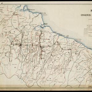
Deli: Spoorweg maatschappij

event1891

location_onIndonesia

A map of the railway/tramway system of the Deli district on the northeast Sumatra coast. Existing and projected lines are shown, with stops and stations, as well as ‘draagbaar’ railways (a railway with movable tracks made by the Decauville company).

close