Search

Search Results

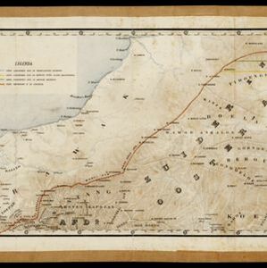
Kaart van een gedeelte van Borneo: met aanwijzing van de grens tusschen het Nederlandsch gebied en dat van het Britsche Protectoraat

event1891

location_onIndonesia, Malaysia, Myanmar

Map marking the border (in orange) agreed between British and Dutch territory on Borneo in 1891. Alternative borders are shown: according to the Dutch (blue), according to the British North Borneo Society (yellow) and proposed by the British (green).

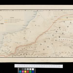
Kaart van een gedeelte van Borneo: met aanwijzing van de grens tusschen het Nederlandsch gebied en dat van het Britsche Protectoraat

event1891

location_onIndonesia, Malaysia

Map marking the border (in orange) agreed between British and Dutch territory on Borneo in 1891. Alternative borders are shown: according to the Dutch (blue), according to the British North Borneo Society (yellow) and proposed by the British (green).
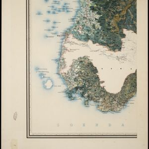
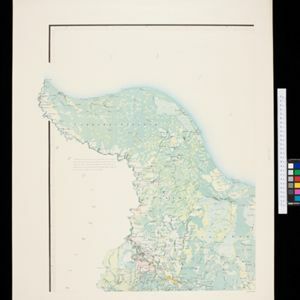
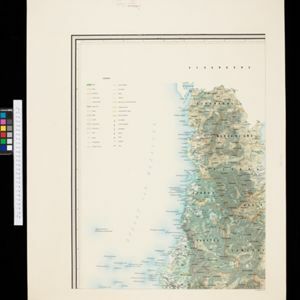
Kaart van Zuid Celebes met uitzondering van het rijk Gowa

event1890

location_onIndonesia

Detailed topographical map of South Celebes (Sulawesi) spread over four sheets, featuring crops (coffee, alang-alang, rice), fishing ponds, salt panning. With two additional maps of the island of Saleijer (Selayar) and Pitoempanoewae (Pitumpanua).

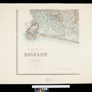
Topographische Kaart der residentie Bagelen

event1890

location_onIndonesia

The residency of Bagelen, Central Java, is shown divided into regencies and districts. Coffee, tea and cinnamon plantations, fields of rice, alang-alang and other crops, mountains, rivers, hot and mineral springs, settlements and routes are marked.

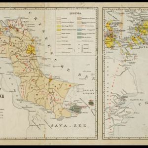
Schets-taalkaart van de residentie Bangka / Schets-taalkaart van den Riouw- en Lingga-archipel

event1889

location_onIndonesia

Two separate maps showing the languages and dialects spoken on the islands of Bangka, and the Riouw (Riau) and Lingga archipelagos, in the late 19th century. On Bangka alone, there are 12 languages or dialects listed.

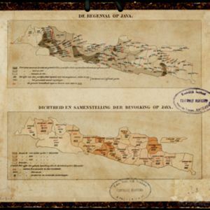
De regenval op Java / Dichtheid en samenstelling der bevolking op Java / Cultuurgewassen op Java / Veestapel op Java

event1889

location_onIndonesia

Four maps recording the rainfall, population and ethnicity, crops, and livestock of Java in the late 19th century.

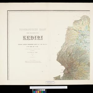
Topographische Kaart der residentie Kediri

event1889

location_onIndonesia

Four-sheet topographic map of the residency of Kediri (East Java), divided into regencies (pink borders) and districts (yellow borders). Mountains, forests, settlements, routes and crops—sugarcane, alang-alang, rice, coffee, sugar, nutmeg—are shown.

Topographische Kaart der residentie Krawang

event1889

location_onIndonesia

The residency of Krawang (Karawang), West Java, featuring plantations (coffee, coconut, cinnamon, nutmeg, sugar); crops (rice, alang-alang, bamboo); post offices, routes (road, postal, canals), administrative borders; mountains, rivers, forests.

Topographische Kaart der residentie Kedoe

event1889

location_onIndonesia

The residency of Kedoe (Kedu, Central Java), featuring crops (coffee, rice), routes (roads, bridal paths, paths), administrative borders (regencies, districts), mountains, forests and rivers. There is also an inset triangulation map.

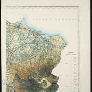
Topographische kaart der residentie Besoeki

event1888

location_onIndonesia

The residency of Besoeki (Besuki), East Java, featuring crops (rice, alang-alang, bamboo, coconut); fishing ponds; factories, warehouses, businesses; routes, administrative borders; churches, cemeteries, forts, lighthouses; mountains, rivers, lakes.

Kaart van zuid Celebes mit uitzondering van het rijk Gowa

event1888

location_onIndonesia

Map of the South Peninsula of Celebes (Sulawesi), spread over four sheets. It features crops (alang-alang, coffee, rice, sugarcane), fishing ponds, salt panning, routes, mountains, forests and settlements. The Gowa Regency is left blank.

Topographische kaart der residentie Pasoeroean

event1887

location_onIndonesia

The residency of Pasoeroean (Pasuruan), East Java, featuring crops (coffee, cinchona (kina), rice, alang-alang, bamboo) and fishing ponds. Two inset maps: a triangulation map, and a map of distances between settlements by various types of transport.

close