Search Results
Filter
Insets
Legend
Remove constraint Insets: Legend
Simple Location
Thailand
Remove constraint Simple Location: Thailand
Sea Routes
Maritime Route
Remove constraint Sea Routes: Maritime Route
16 Results found
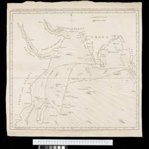
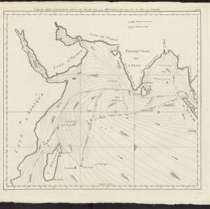
Physical chart of the Indian Ocean: shewing the temperature of the water, the currents of the air and ocean, directions of the wind, districts of hurricanes, regions of the monsoons & ty-foons, trade routes &c&c.
1849
Brunei, Cambodia, East Timor, Indonesia, Laos, Malaysia, Myanmar, Papua New Guinea, Philippines, Singapore, Southeast Asia, Thailand, Vietnam
- [remove]Thailand16
- Indonesia15
- Myanmar13
- Malaysia12
- Cambodia9
- Singapore9
- Vietnam9
- Brunei8
- Philippines8
- East Timor7
- Laos7
- Southeast Asia7
- more Simple Location »
- Sumatra14
- Malay Peninsula11
- Indian Ocean9
- Borneo7
- Java7
- Isle de France6
- Mauritius6
- South China Sea6
- Sulawesi6
- Banda Sea5
- Celebes5
- Celebes Sea5
- more Detailed Location »
- [remove]Maritime Route16
- Current Data9
- Bathymetry3
- Tide Data1
- [remove]Legend16
- Inset Map5
- Cartouche1
- Coat of Arms1
- Elevation1
- Lattré, Jean5
- Grenier, Jacques-Raymond de2
- Baarsel, C. van1
- Bartholomew, John1
- Berghaus, Heinrich Karl Wilhelm1
- Coryton, John1
- Dower, John1
- Johnston, Keith (A.K.)1
- more Map Maker »
- Vicomte Grenier4
- C.L. Brinkman1
- Edinburgh Geographical Institute1
- Hydrographic Office, Admiralty1
- Illustrated London News1
- J.H. de Bussy1
- J.L. Beijers1
- John Bartholomew & Co.1
- more Printer/Publisher »