Search Results

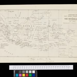
A sketch map of the East Indian possessions of the Netherlands
1886
Brunei, Indonesia, Malaysia, Papua New Guinea, Philippines, Singapore
Produced by the Intelligence Branch of the British War Office, this map shows Dutch colonial territories in maritime Southeast Asia, and their political and military divisions in Java and Madura. British and Spanish territories are also marked.

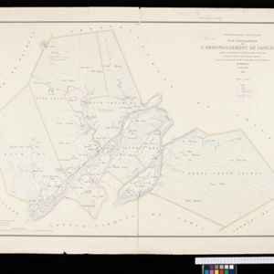
Plan topographique de l'arrondissment de Longxuyen
1886
Vietnam
Map of the district of Longxuyen (Long Xuyên in the Mekong Delta, Vietnam). The city of Long Xuyên is on the southern bank of the Bassac River (labelled ‘Fleuve Postérieur’ and ‘Fleuve Antérieur’), surrounded by rivers, wetlands, fields and villages.
- [remove]Intelligence Division, War Office15
- Service du Cadastre de Cochinchine4
- Dufrenoy2
- Lemercier et Cie.2
- J.H. de Bussy1
- Justus Perthes1
- Langhans' Deutscher Kolonial-Atlas1
- R.G.S Proceedings1
- more Printer/Publisher »


