Search

Search Results

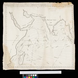
Carte des courants pour le tems de la Mousson du S.O., au N. de la ligne

eventc.1780

location_onMalaysia, Indonesia, Myanmar, Thailand

Map of the Indian Ocean showing the currents (represented by arrows) and winds (represented with letters A to F) during the monsoon seasons. Three routes—one old and two new—from the Isle de France (Mauritius) east to the Strait of Malacca are shown.

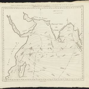
Carte du sisteme des courants des Mers de l'Inde dans le tems de la Mousson du N.E, au N. de la ligne

event1776

location_onIndonesia, Myanmar, Thailand

Map of the Indian Ocean showing the currents (represented by arrows) and winds (represented with letters A to G) during the monsoon seasons. Three routes from the Isle de France (Mauritius) around the Indian Ocean are shown.

Carte du sisteme des courants des Mers de l'Inde dans le tems de la Mousson du N.E, au N. de la ligne

event1776

location_onMyanmar, Indonesia, Thailand

Map of the Indian Ocean showing the currents (represented by arrows) and winds (represented with letters A to G) during the monsoon seasons. Three routes from the Isle de France (Mauritius) around the Indian Ocean are shown.

Carte du sisteme des courants des Mers de l'Inde dans le tems de la Mousson du N.E, au N. de la ligne

event1776

location_onIndonesia, Myanmar, Thailand

Map of the Indian Ocean showing the currents (represented by arrows) and winds (represented with letters A to G) during the monsoon seasons. Three routes from the Isle de France (Mauritius) around the Indian Ocean are shown.

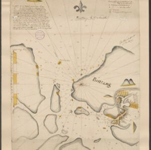
Bintang

eventc.1775-1799

location_onIndonesia, Malaysia

Hand-drawn map of islands in the Riau Archipelago, with bathymetry (sea depth) marked. It features side views of hills (‘elevations’) to use as landmarks, including ‘Jehore hill’, probably in Johor at the southern tip of the Malay Peninsula.

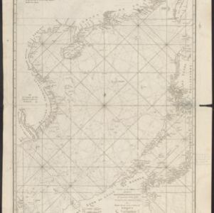
Chart of the China Sea

event1746

location_onBrunei, Cambodia, Indonesia, Malaysia, Philippines, Vietnam

This map features eight expedition routes across the South China Sea from 1752 to 1763. The web of lines is a rhumbline network, and bathymetry (sea depth) is marked. The place names are in French, but with an English title and notes.

close