Search

Search Results

Sumatra

event1889

location_onIndonesia

Map of the city of Padang on the west coast of Sumatra, with inset maps of the nearby islands, featuring residential, business, government and military areas. There are also agricultural areas with coconut, nutmeg, bamboo, nipa palm and sago palm.

Topographische Kaart der residentie Krawang

event1889

location_onIndonesia

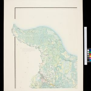
The residency of Krawang (Karawang), West Java, featuring plantations (coffee, coconut, cinnamon, nutmeg, sugar); crops (rice, alang-alang, bamboo); post offices, routes (road, postal, canals), administrative borders; mountains, rivers, forests.
Topographische Kaart der residentie Kedoe

event1889

location_onIndonesia

The residency of Kedoe (Kedu, Central Java), featuring crops (coffee, rice), routes (roads, bridal paths, paths), administrative borders (regencies, districts), mountains, forests and rivers. There is also an inset triangulation map.

Kaart der Residentie Soerakarta

event1859

location_onIndonesia

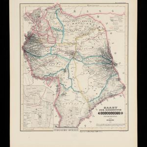
Map of the Dutch colonial administrative region (residency) of Soerakarta (Surakarta, Java). Inset map of Surakarta city, with a military fort and two palaces. (From ‘Algemeene Atlas van Nederlandsche Indie [General Atlas of the Dutch East Indies]’.)

Kaart van de Residentie Madioen

event1859

location_onIndonesia

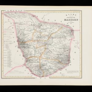
Map of the Dutch colonial administrative region (residency) of Madioen (Madiun, Java). A sugar factory, cinnamon shed, and indigo plant mill are marked. (From ‘Algemeene Atlas van Nederlandsche Indie [General Atlas of the Dutch East Indies]’.)

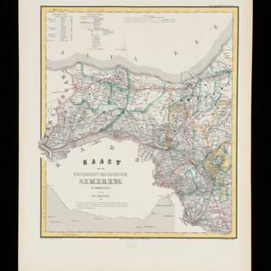
Kaart van de Westerhelft der Residentie Samarang

event1858

location_onIndonesia

Map of the Dutch colonial administrative region (residency) of Samarang (Semarang, Java), with post offices and routes, a saw mill and a sugar factory marked. (From ‘Algemeene Atlas van Nederlandsche Indie [General Atlas of the Dutch East Indies]’.)

Kaart van de Oosterhelft der Residentie Samarang

event1858

location_onIndonesia

Map of the Dutch colonial administrative region (residency) of Samarang (Semarang, Java) with ruined temples, a sugar factory, tobacco warehouse and rice mill. (From ‘Algemeene Atlas van Nederlandsche Indie [General Atlas of the Dutch East Indies]’.)
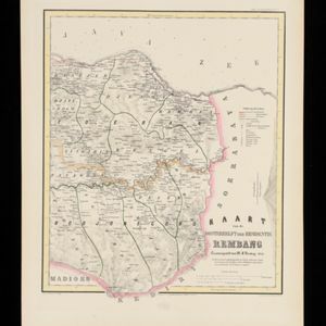
Kaart van de Westerhelft der Residentie Rembang

event1858

location_onIndonesia

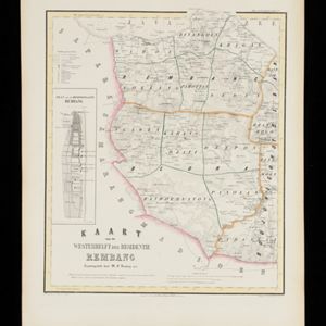
Map of the western half of the Dutch colonial administrative region (residency) of Rembang, Java, with an inset map of its capital city, Rembang. (From ‘Algemeene Atlas van Nederlandsche Indie [General Atlas of the Dutch East Indies]’.)

Kaart van de Oosterhelft der Residentie Rembang

event1858

location_onIndonesia

Map of the eastern half of the Dutch colonial administrative region (residency) of Rembang, Java. A sugar factory and tobacco establishment are marked. (From ‘Algemeene Atlas van Nederlandsche Indie [General Atlas of the Dutch East Indies]’.)
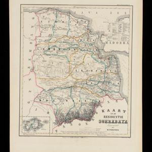
Kaart van de Residentie Soerabaya

event1858

location_onIndonesia

Map of the Dutch colonial administrative region (residency) of Soerabaya (Surabaya, Java), including the Madura Strait and an inset map of the island of Bawean. (From ‘Algemeene Atlas van Nederlandsche Indie [General Atlas of the Dutch East Indies]’.

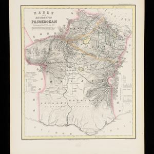
Kaart van de Residentie Pasoeroean

event1858

location_onIndonesia

Map of the Dutch colonial administrative region (residency) of Pasoeroean (Pasuruan, Java), with post offices and routes, a sugar factory, and a coffee mill. (From ‘Algemeene Atlas van Nederlandsche Indie [General Atlas of the Dutch East Indies]’.)

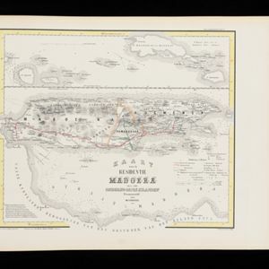
Kaart van de Residentie Madoera en Onderhoorige Eilanden

event1858

location_onIndonesia

Map of the Dutch colonial administrative region of the island of Madoera (Madura), featuring bathymetry (sea depth), and an inset map of the Kangean Islands. (From ‘Algemeene Atlas van Nederlandsche Indie [General Atlas of the Dutch East Indies]’.)

close

  • Filter from 1847 to 1898

Current results range from 1847 to 1898