Search

Search Results

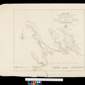
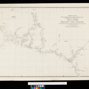
Sketch map shewing the rivers and an outline of the coast... Gulf of Papua, British New Guinea

event1893

location_onPapua New Guinea

Map of part of the east coast of the Gulf of Papua, with river mouths, shoals, bathymetry (water depth). On land, notes on terrain (‘Hills 100 to 150 ft. high’), land (‘Good soil’), vegetation (‘Nipa and Sago Palms’) and people (‘Ipikoi Tribe’).

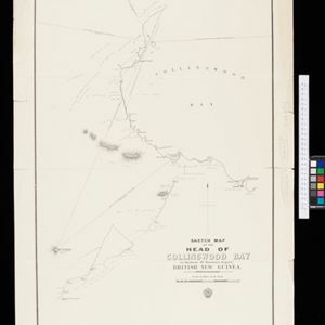
Sketch map of the head of Collingwood Bay

event1892

location_onPapua New Guinea

Map of Collingwood Bay, north coast of New Guinea, with bearings to mountains, bathymetry (sea depth), shoals and reefs. On land, notes on terrain (‘sloping plains’, ‘Stiff clay soil’), vegetation (‘Casuarina trees’) and people (‘FRIENDLY TRIBE’).

Sketch map shewing the rivers and an outline of the coast... Gulf of Papua, British New Guinea

event1892

location_onPapua New Guinea

Map of part of the west coast of the Gulf of Papua, with islands, river mouths, shoals, bathymetry (water depth), notes to aid navigation. On land, notes on terrain (‘Limestone Hill’), vegetation (‘Pandanus & Nipa Palms’) and people (‘Paia Tribe’).

Asiatic archipelago

event1876

location_onVietnam, Myanmar, Papua New Guinea, Philippines, Singapore, Southeast Asia, Thailand, Malaysia, Laos, Indonesia, East Timor, Cambodia, Brunei

This late 19th century map of Southeast Asia shows the best maritime routes around the region, according to the time of year. There are also inset maps highlighting the rivers and southern islands of Singapore, and the sea depth around Labuan Island.

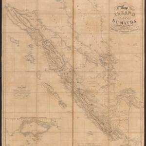
Map of the island of Sumatra constructed chiefly from surveys taken by order of the late Sir Thos. Stamford Raffles

event1829

location_onIndonesia, Malaysia, Singapore

On this map of Sumatra, the west coast mountain ranges contrast with the rivers to the east. An inset map of Singapore focuses on jungles along the coasts, and features bathymetry (sea depth) around the south coast and along the Singapore Strait.

A map of Java: chiefly from surveys made during the British administration

event1817

location_onIndonesia

Made for ‘A History of Java’ by Sir Stamford Raffles, this map includes a list of administrative districts with their populations, and four inset maps of harbours. Another inset map shows rocks and minerals, mountains and volcanoes, and teak forests.

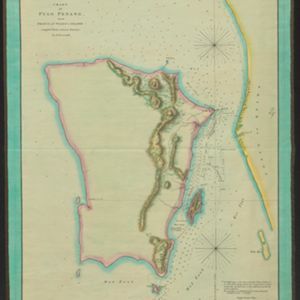
Chart of Pulo Penang: now Prince of Wales's Island

event1805

location_onMalaysia

Map focusing on the passage between Penang Island and the mainland, with shoals and reefs marked and described, and bathymetry (sea depth) shown. There are anchor points at George Town harbour, and landmarks—hills, trees, a fort—to aid navigation.

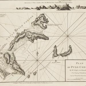
Plan of Pulo Condor

event1794

location_onVietnam

There is a port at the south of this map of the Côn Đảo archipelago (Vietnam), and notes giving details such as a suitable location to careen ships (turning a ship on its side for cleaning or repair). A ruined English fort is also marked.

close

  • Filter from 1794 to 1893

Current results range from 1794 to 1893