Search Results
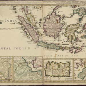
Partie de la nouvelle grande carte des Indes Orientales, contenant les isles Maldives, Ceylan, Malacca, Sumatra... les isles de Borneo, Iava, Celebes, Mindanao
c.1750
Brunei, East Timor, Indonesia, Malaysia, Papua New Guinea, Philippines, Singapore
Map of maritime Southeast Asia, with four inset maps of locations in the region: Surabaya, some of the Lesser Sumba Islands, and Buton and Muna islands of the coast of Sulawesi. Mountains, forests, settlements and fields are represented pictorially.
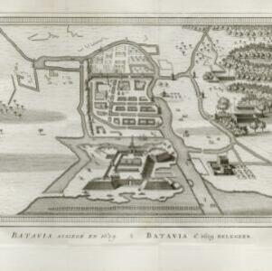
Batavia assiegé en 1629 = Batavia A.o 1629 belegerd
c.1772-1780
Indonesia
This unusual map of Batavia in the late 18th century shows the port city as seen when approaching from the sea. The castle is depicted prominently as a three-dimensional drawing, with the rest of the city behind more flat like a plan.
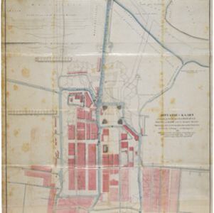
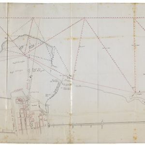
Situatie-kaart van een gedeelte der stad Batavia benevens de bank voor de Groote rivier
1817
Indonesia
Plan of the canals and rivers flowing through the city of Batavia (Jakarta), passing through the port before reaching the pier and the bay. The bay has a sand bank and figures for water depth. There are profile drawings of two of the city’s rivers.

Algemeene kaart van Nederlandsch Oostindie
c.1839-1855
East Timor, Indonesia, Malaysia, Singapore
This map of the Dutch East Indies is spread over eight sheets, with a hand-drawn cover sheet showing the whole area. There are numerous inset maps of islands, bays, cities etc. Two of the inset maps have a replacement map pasted over them.
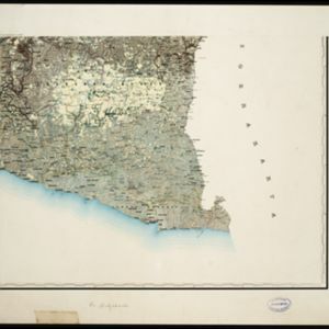
Topographische kaart der residentie Djokjakarta
1870
Indonesia
The residency of Djokjakarta (Yogyakarta), southern Java, featuring crops (coffee, sugar, rice, alang-alang, tobacco, indigo plants, nipa palm, bamboo); warehouses, cemeteries, post offices; routes, administrative borders; mountains, rivers.

Topographische kaart der residentie Semarang
c.1869-1871
Indonesia
The residency of Semarang, Central Java, featuring crops (coffee, rice, bamboo, nipa palm); warehouses, cemeteries, post offices; routes, administrative borders; mountains, rivers, forests. An inset map shows updated details of the Kendal district.

