Search

Search Results

Delineatio Indiæ orientalis: quae lumen dabit huic itinerario et historiis

event1700

location_onBrunei, Cambodia, Indonesia, Laos, Malaysia, Myanmar, Philippines, Singapore, Southeast Asia, Thailand, Vietnam

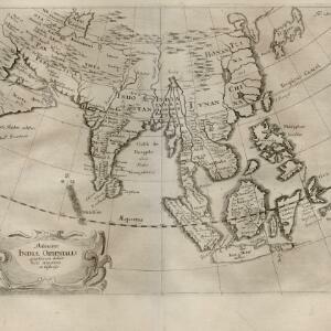
This map of India and Southeast Asia—or ‘Indiae Orientalis [East Indies]’ as it was called at the time—was published in a book documenting the travels of the German scholar and geographer Adam Olearius (1599–1671).

Borneo Insula

event1602

location_onMalaysia, Indonesia

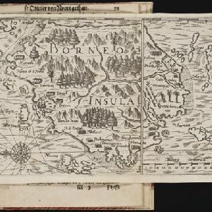
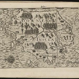
An early map of the island of Borneo, depicting the natural landscape of mountains, forests, rivers and shoals, and also evidence of human habitation with houses representing settlements, and a port and shipping route along the northern coast.

Borneo Insula

eventc.1600-1699

location_onMalaysia, Indonesia

An early map of the island of Borneo, depicting the natural landscape of mountains, forests, rivers and shoals, and also evidence of human habitation with houses representing settlements, and a port and shipping route along the northern coast.

close

  • Filter from 1600 to 1700

Current results range from 1600 to 1700