Search

Search Results

Atlas van Nederlandsch Oost-Indië

eventc.1897-1904

location_onIndonesia

Very detailed atlas of the entire Dutch East Indies, over 16 map sheets, with a cover and overview map. Includes topographic maps, inset maps of cities and islands, and maps featuring land and sea routes, languages, geology, colonial territory etc.

Algemeene Atlas van Nederlandsche Indie

eventc.1853-1862

location_onIndonesia

Atlas featuring over 60 detailed maps of the Dutch East Indies: 24 maps cover Java; the remainder cover the rest of the Dutch East Indies. There are three index maps. (All the maps in this atlas are also presented separately on this platform.)

Algemeene Kaart van Nederlandsch Oostindie

event1842

location_onEast Timor, Indonesia, Malaysia, Singapore

This detailed map of the Dutch East Indies in the mid-19th century is spread over eight sheets, plus a cover sheet showing the whole area. There are numerous inset maps of islands, bays, cities etc.

Algemeene kaart van Nederlandsch Oostindie

eventc.1839-1855

location_onEast Timor, Indonesia, Malaysia, Singapore

This map of the Dutch East Indies is spread over eight sheets, with a hand-drawn cover sheet showing the whole area. There are numerous inset maps of islands, bays, cities etc. Two of the inset maps have a replacement map pasted over them.

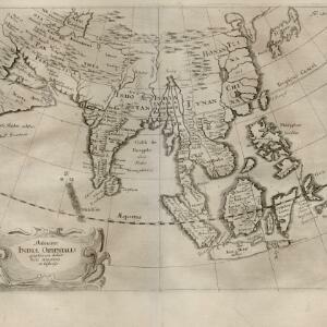
Delineatio Indiæ orientalis: quae lumen dabit huic itinerario et historiis

event1700

location_onBrunei, Cambodia, Indonesia, Laos, Malaysia, Myanmar, Philippines, Singapore, Southeast Asia, Thailand, Vietnam

This map of India and Southeast Asia—or ‘Indiae Orientalis [East Indies]’ as it was called at the time—was published in a book documenting the travels of the German scholar and geographer Adam Olearius (1599–1671).

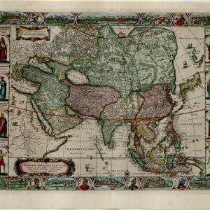
A new plaine and exact map of Asia

event1671

location_onBrunei, Cambodia, East Timor, Indonesia, Laos, Malaysia, Myanmar, Philippines, Singapore, Southeast Asia, Thailand, Vietnam

This colourful map of Asia is illustrated with drawings of Asian people wearing traditional clothing, including a man and woman from Java in Southeast Asia, and drawings of important ports such as Bantan (Banten) situated at the western end of Java.

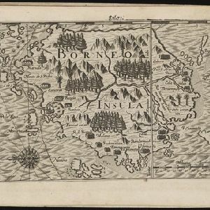
Borneo Insula

event1602

location_onMalaysia, Indonesia

An early map of the island of Borneo, depicting the natural landscape of mountains, forests, rivers and shoals, and also evidence of human habitation with houses representing settlements, and a port and shipping route along the northern coast.

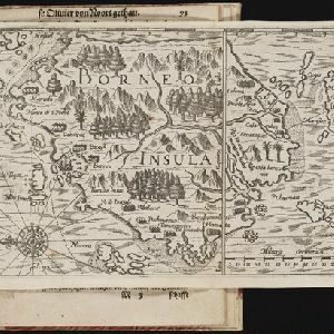
Borneo Insula

eventc.1600-1699

location_onMalaysia, Indonesia

An early map of the island of Borneo, depicting the natural landscape of mountains, forests, rivers and shoals, and also evidence of human habitation with houses representing settlements, and a port and shipping route along the northern coast.

close